TYPE:
SENSOR
LAYER:
DS_PHR1A_201806021036521_FR1_PX_E006N45_1123_02403
FORMAT:
DIMAP
RASTER:
image/jp2
General Information
Map Name
Geometric Processing Level
Radiometric Processing Level
BASIC
Image dimensions
Number of columns
40000
Number of rows
53047
Number of spectral bands
1
Dataset framing
Vertice
Longitude (DEG)
Latitude (DEG)
Row
Col
#1
6.783926293777607
46.05395475130732
#2
7.044748303260972
46.05353324789886
#3
7.043737408482261
45.8112616987103
#4
6.783636759616083
45.80948770220769
Dataset sources
PHR
Coordinate Reference System
Projected Coordinate System
Geocoding tables identification
EPSG(6.3)
Production
Production Date
2018-06-14T08:33:15.721
Job identification
3062210101-1
Dataset Producer Identification
AIRBUS DS GEO
Producer link
http://www.geo-airbusds.com
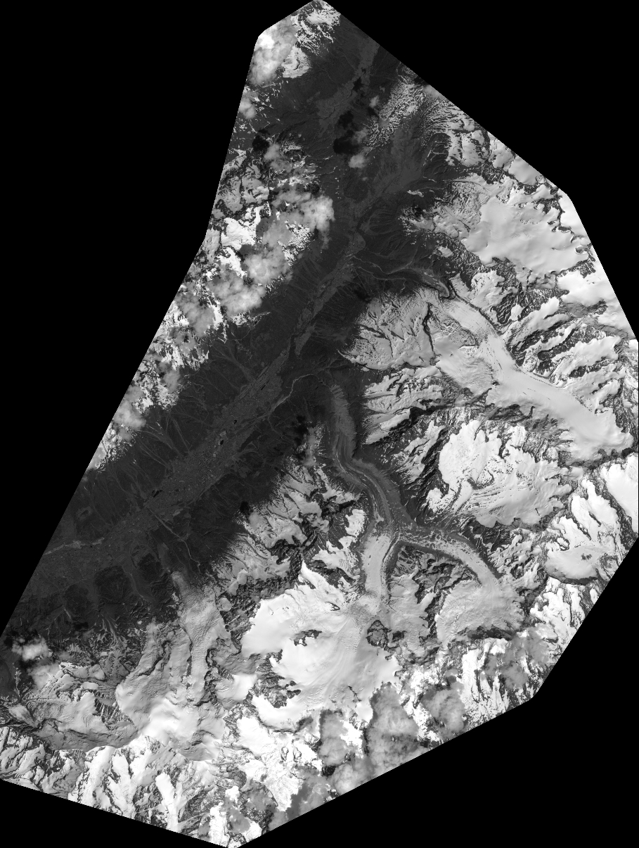
Quicklook
Copyright