TYPE:
SENSOR
LAYER:
DS_PHR1A_201806021036521_FR1_PX_E006N45_1123_02403
FORMAT:
DIMAP
RASTER:
image/jp2
General Information
Map Name
Geometric Processing Level
Radiometric Processing Level
BASIC
Image dimensions
Number of columns
10000
Number of rows
13263
Number of spectral bands
4
Dataset framing
Vertice
Longitude (DEG)
Latitude (DEG)
Row
Col
#1
6.783935910152738
46.0539468137578
1
#2
7.044738179804661
46.05352571449276
#3
7.043728195937164
45.81124674879705
#4
6.783646316090882
45.80947122296061
Dataset sources
PHR
Coordinate Reference System
Projected Coordinate System
Geocoding tables identification
EPSG(6.3)
Production
Production Date
2018-06-14T08:30:26.663
Job identification
3062210101-2
Dataset Producer Identification
AIRBUS DS GEO
Producer link
http://www.geo-airbusds.com
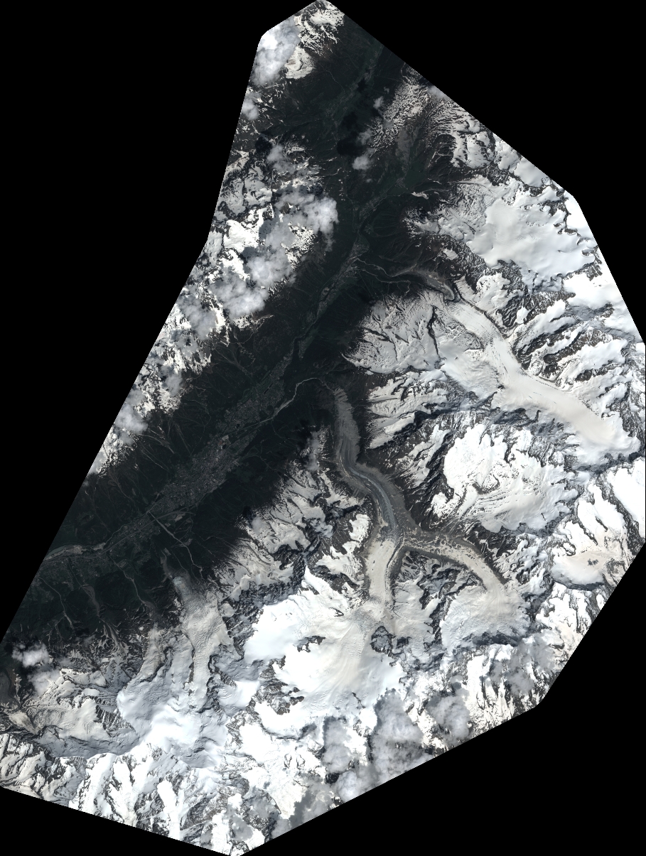
Quicklook
Copyright