TYPE:
SENSOR
LAYER:
DS_PHR1A_201806021036198_FR1_PX_E006N45_1123_02388
FORMAT:
DIMAP
RASTER:
image/jp2
General Information
Map Name
Geometric Processing Level
Radiometric Processing Level
BASIC
Image dimensions
Number of columns
9951
Number of rows
13277
Number of spectral bands
4
Dataset framing
Vertice
Longitude (DEG)
Latitude (DEG)
Row
Col
#1
6.78184910064007
46.05002367982816
1
#2
7.044182207621636
46.05319562455569
#3
7.043752680174964
45.81038190721868
#4
6.784452134021127
45.80995080402668
Dataset sources
PHR
Coordinate Reference System
Projected Coordinate System
Geocoding tables identification
EPSG(6.3)
Production
Production Date
2018-06-14T08:30:23.454
Job identification
3062210101-2
Dataset Producer Identification
AIRBUS DS GEO
Producer link
http://www.geo-airbusds.com
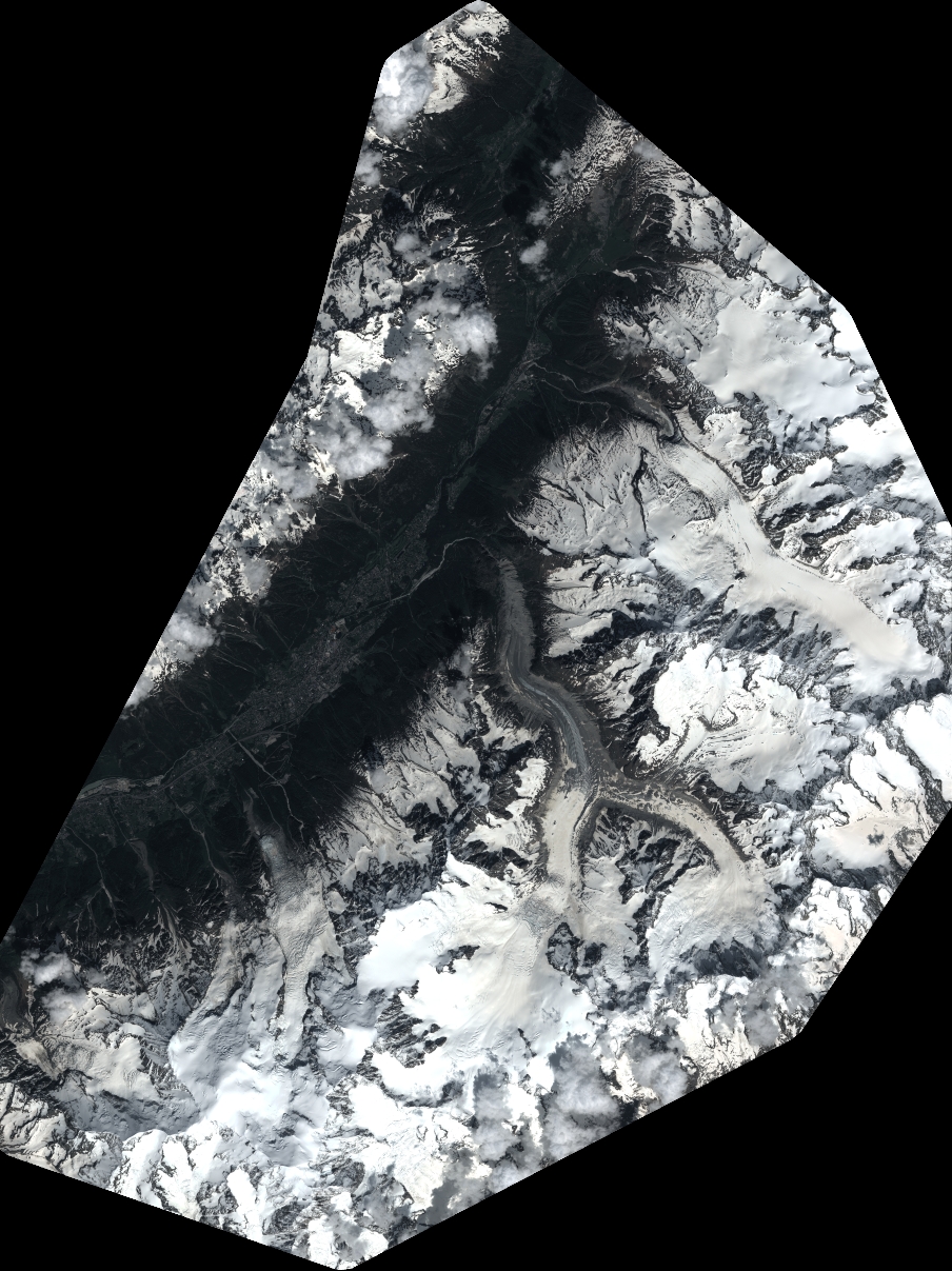
Quicklook
Copyright