TYPE:
SENSOR
LAYER:
DS_PHR1A_201805290629256_FR1_PX_E055S22_1020_01095
FORMAT:
DIMAP
RASTER:
image/jp2
General Information
Map Name
Geometric Processing Level
Radiometric Processing Level
BASIC
Image dimensions
Number of columns
7512
Number of rows
5928
Number of spectral bands
4
Dataset framing
Vertice
Longitude (DEG)
Latitude (DEG)
Row
Col
#1
55.68182370317357
-21.29186352893544
1
#2
55.8292491899245
-21.29264031288468
#3
55.82942874820739
-21.40219602719185
#4
55.6783450047537
-21.39934356910277
Dataset sources
PHR
Coordinate Reference System
Projected Coordinate System
Geocoding tables identification
EPSG(6.3)
Production
Production Date
2018-07-05T11:47:11.736
Job identification
3124707101-002
Dataset Producer Identification
AIRBUS DS GEO
Producer link
http://www.geo-airbusds.com
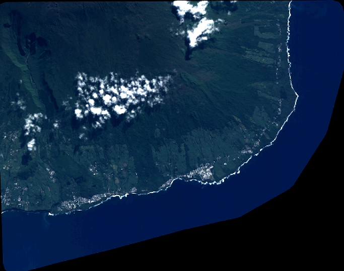
Quicklook
Copyright