TYPE:
SENSOR
LAYER:
DS_PHR1B_201805280636328_FR1_PX_E055S22_0619_01800
FORMAT:
DIMAP
RASTER:
image/jp2
General Information
Map Name
Geometric Processing Level
Radiometric Processing Level
BASIC
Image dimensions
Number of columns
9999
Number of rows
9989
Number of spectral bands
4
Dataset framing
Vertice
Longitude (DEG)
Latitude (DEG)
Row
Col
#1
55.34689594391724
-21.13541824879224
1
#2
55.53994648959922
-21.13542330498248
#3
55.54068412634368
-21.31550688664212
#4
55.34700005006426
-21.31541068056319
Dataset sources
PHR
Coordinate Reference System
Projected Coordinate System
Geocoding tables identification
EPSG(6.3)
Production
Production Date
2018-07-05T12:01:24.652
Job identification
3124720101-002
Dataset Producer Identification
AIRBUS DS GEO
Producer link
http://www.geo-airbusds.com
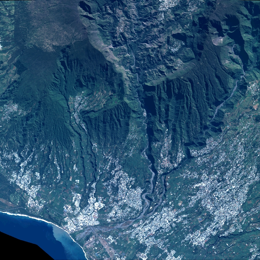
Quicklook
Copyright