TYPE:
SENSOR
LAYER:
DS_PHR1B_201805280636232_FR1_PX_E055S22_0423_01709
FORMAT:
DIMAP
RASTER:
image/jp2
General Information
Map Name
Geometric Processing Level
Radiometric Processing Level
BASIC
Image dimensions
Number of columns
6417
Number of rows
9477
Number of spectral bands
4
Dataset framing
Vertice
Longitude (DEG)
Latitude (DEG)
Row
Col
#1
55.24865132365558
-21.13022410182496
1
#2
55.37375103430589
-21.1273588589078
#3
55.37396820116656
-21.30301837047552
#4
55.24874354926206
-21.30338769108833
Dataset sources
PHR
Coordinate Reference System
Projected Coordinate System
Geocoding tables identification
EPSG(6.3)
Production
Production Date
2018-07-05T12:00:00.682
Job identification
3124719101-002
Dataset Producer Identification
AIRBUS DS GEO
Producer link
http://www.geo-airbusds.com
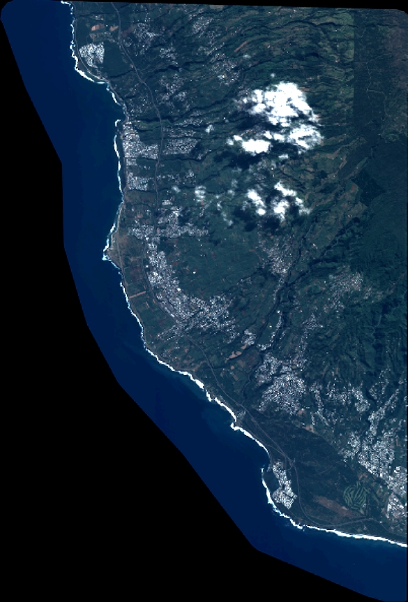
Quicklook
Copyright