TYPE:
SENSOR
LAYER:
DS_PHR1A_201805201124561_FR1_PX_W002N48_0612_01795
FORMAT:
DIMAP
RASTER:
image/jp2
General Information
Map Name
Geometric Processing Level
Radiometric Processing Level
BASIC
Image dimensions
Number of columns
9427
Number of rows
9988
Number of spectral bands
4
Dataset framing
Vertice
Longitude (DEG)
Latitude (DEG)
Row
Col
#1
-1.715839586810262
48.59409277258774
1
#2
-1.436924850729498
48.58918892034888
#3
-1.437077103846419
48.40117483349265
#4
-1.716308508072097
48.4076380072792
Dataset sources
PHR
Coordinate Reference System
Projected Coordinate System
Geocoding tables identification
EPSG(6.3)
Production
Production Date
2018-05-31T13:58:10.470
Job identification
3018554101-2
Dataset Producer Identification
AIRBUS DS GEO
Producer link
http://www.geo-airbusds.com
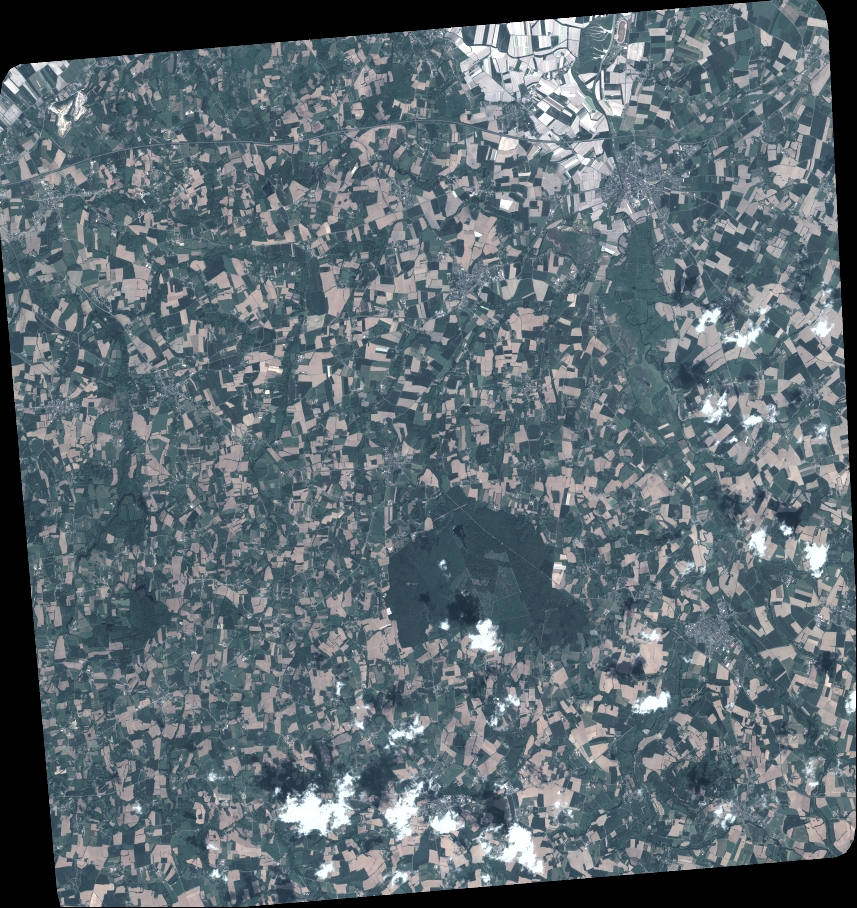
Quicklook
Copyright