TYPE:
SENSOR
LAYER:
SEN_SPOT7_20180515_104842000_000
FORMAT:
DIMAP
RASTER:
image/jp2
General Information
Map Name
Geometric Processing Level
Radiometric Processing Level
BASIC
Image dimensions
Number of columns
38609
Number of rows
39465
Number of spectral bands
1
Dataset framing
Vertice
Longitude (DEG)
Latitude (DEG)
Row
Col
#1
-2.02450897393
48.6425338165
#2
-1.18823662781
48.635837578
#3
-1.19075707015
48.0542977188
#4
-2.0211301732
48.0643161403
Dataset sources
SPOT
Coordinate Reference System
Projected Coordinate System
Geocoding tables identification
ITU(0.0)
Production
Production Date
2018-05-15T12:06:52.00Z
Job identification
SPOT7_20180515_1145291ubu30z26zupc_1
Dataset Producer Identification
"SRD GEOSUD / IRD, Irstea, IGN"
Producer link
http://geosud.teledetection.fr/
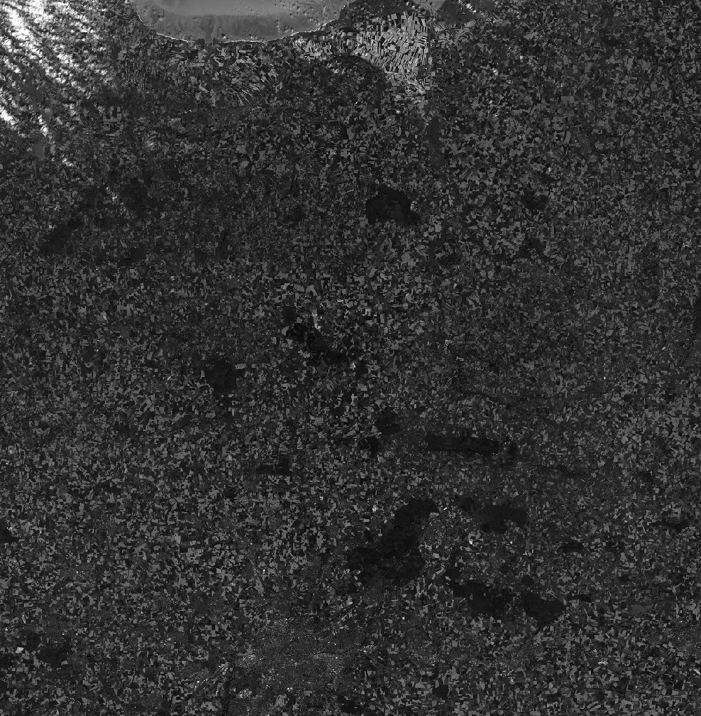
Quicklook
Copyright