TYPE:
SENSOR
LAYER:
DS_PHR1A_201805150636149_FR1_PX_E055S22_0624_03089
FORMAT:
DIMAP
RASTER:
image/jp2
General Information
Map Name
Geometric Processing Level
Radiometric Processing Level
BASIC
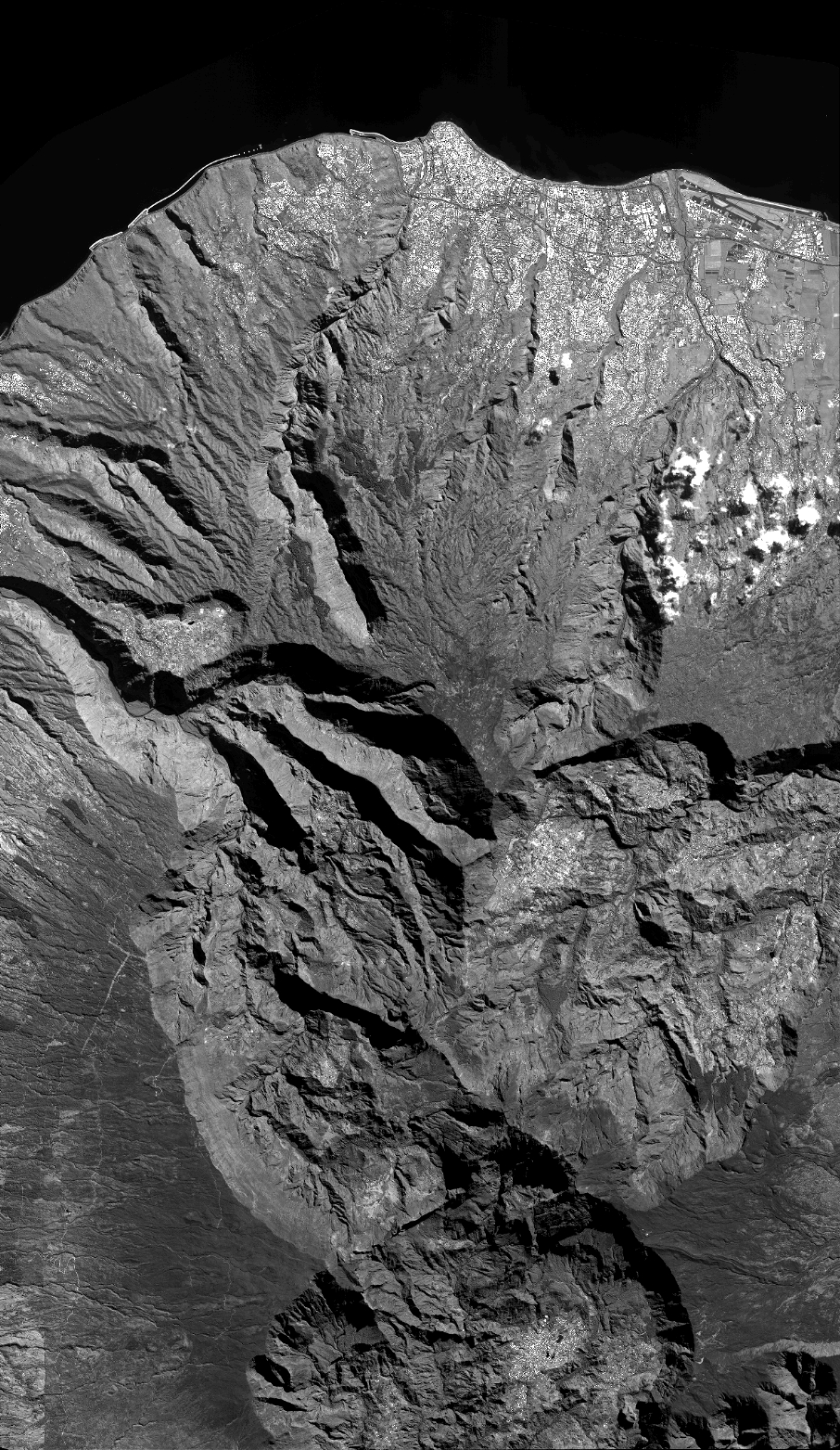
Image dimensions
Number of columns
39894
Number of rows
68769
Number of spectral bands
1
Dataset framing
Vertice
Longitude (DEG)
Latitude (DEG)
Row
Col
#1
55.34727255671369
-20.8455804309331
#2
55.54144561139503
-20.84574942622043
#3
55.54131863189037
-21.15782977285495
#4
55.34713636243156
-21.15775544347505
Dataset sources
PHR
Coordinate Reference System
Projected Coordinate System
Geocoding tables identification
EPSG(6.3)
Production
Production Date
2018-07-05T12:03:15.496
Job identification
3124717101-001
Dataset Producer Identification
AIRBUS DS GEO
Producer link
http://www.geo-airbusds.com
Quicklook
Copyright