TYPE:
SENSOR
LAYER:
DS_PHR1A_201805150636149_FR1_PX_E055S22_0624_03089
FORMAT:
DIMAP
RASTER:
image/jp2
General Information
Map Name
Geometric Processing Level
Radiometric Processing Level
BASIC
Image dimensions
Number of columns
9974
Number of rows
17193
Number of spectral bands
4
Dataset framing
Vertice
Longitude (DEG)
Latitude (DEG)
Row
Col
#1
55.34727985205014
-20.84558728298605
1
#2
55.54144805145952
-20.84575627257949
#3
55.54132110261219
-21.15783672773167
#4
55.34714366838818
-21.1577622771846
Dataset sources
PHR
Coordinate Reference System
Projected Coordinate System
Geocoding tables identification
EPSG(6.3)
Production
Production Date
2018-07-05T12:02:11.627
Job identification
3124717101-002
Dataset Producer Identification
AIRBUS DS GEO
Producer link
http://www.geo-airbusds.com
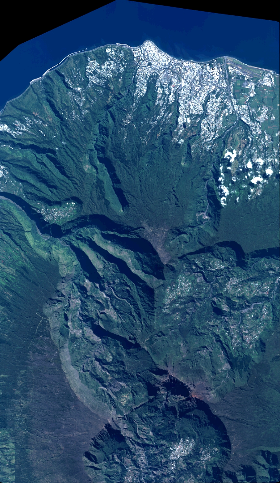
Quicklook
Copyright