TYPE:
SENSOR
LAYER:
DS_PHR1A_201805150636026_FR1_PX_E055S22_0824_02779
FORMAT:
DIMAP
RASTER:
image/jp2
General Information
Map Name
Geometric Processing Level
Radiometric Processing Level
BASIC
Image dimensions
Number of columns
9932
Number of rows
15501
Number of spectral bands
4
Dataset framing
Vertice
Longitude (DEG)
Latitude (DEG)
Row
Col
#1
55.51248562276788
-20.85661906519903
1
#2
55.71026712303637
-20.85673104102084
#3
55.71050762122871
-21.15167293928238
#4
55.51254798492983
-21.14913207438878
Dataset sources
PHR
Coordinate Reference System
Projected Coordinate System
Geocoding tables identification
EPSG(6.3)
Production
Production Date
2018-07-05T11:59:42.836
Job identification
3124716101-002
Dataset Producer Identification
AIRBUS DS GEO
Producer link
http://www.geo-airbusds.com
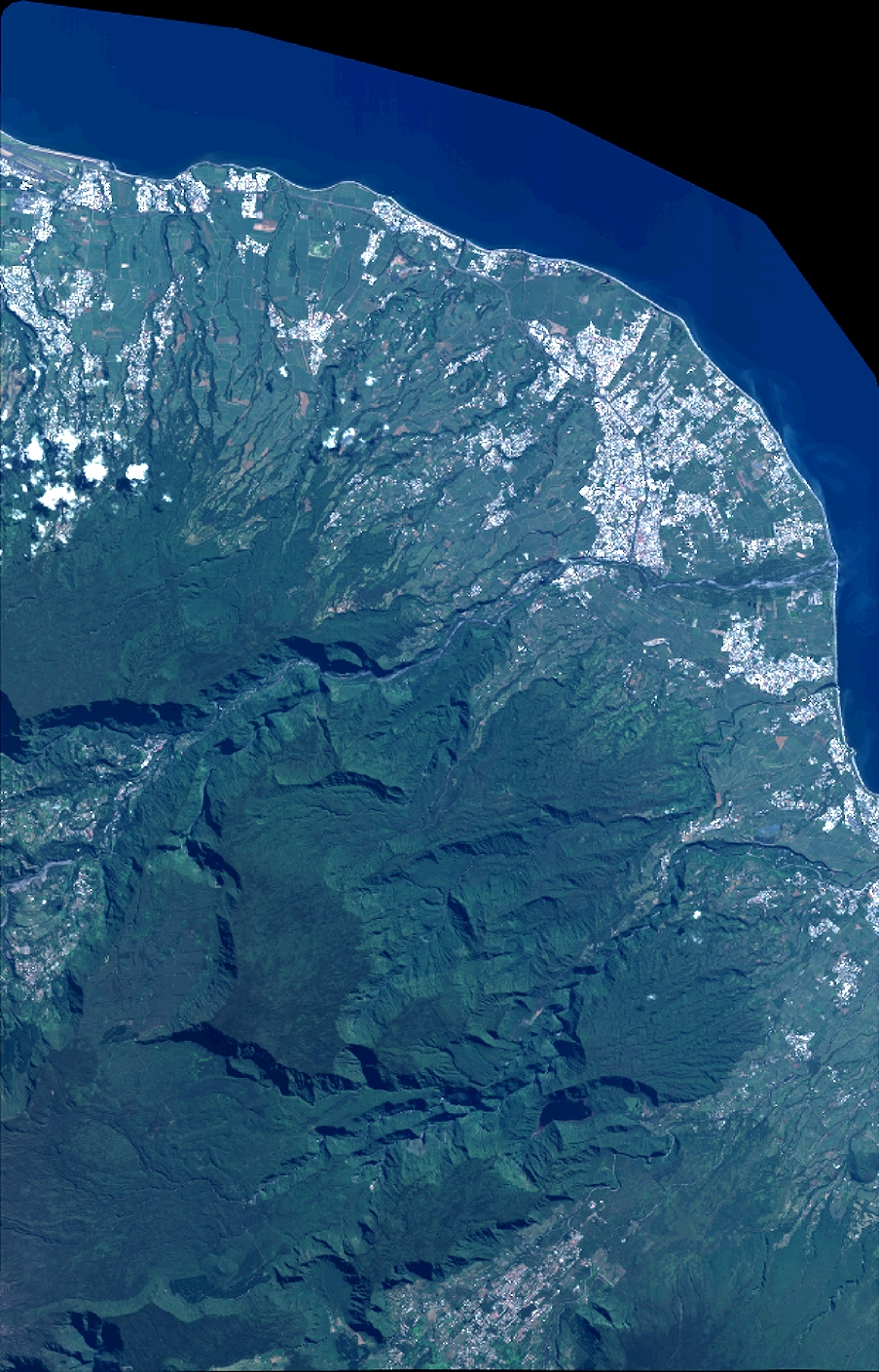
Quicklook
Copyright