TYPE:
SENSOR
LAYER:
DS_PHR1A_201805150636315_FR1_PX_E055S21_0402_01244
FORMAT:
DIMAP
RASTER:
image/jp2
General Information
Map Name
Geometric Processing Level
Radiometric Processing Level
BASIC
Image dimensions
Number of columns
7012
Number of rows
6875
Number of spectral bands
4
Dataset framing
Vertice
Longitude (DEG)
Latitude (DEG)
Row
Col
#1
55.2373057567007
-20.87100128483495
1
#2
55.37281982799755
-20.87091136006616
#3
55.37292611875789
-20.99462005832899
#4
55.23733534834879
-20.99461524348932
Dataset sources
PHR
Coordinate Reference System
Projected Coordinate System
Geocoding tables identification
EPSG(6.3)
Production
Production Date
2018-07-05T11:51:44.228
Job identification
3124713101-002
Dataset Producer Identification
AIRBUS DS GEO
Producer link
http://www.geo-airbusds.com
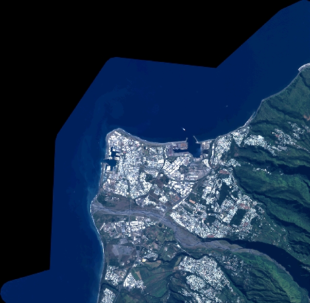
Quicklook
Copyright