TYPE:
SENSOR
LAYER:
DS_PHR1B_201805090632570_FR1_PX_E055S21_0803_01161
FORMAT:
DIMAP
RASTER:
image/jp2
General Information
Map Name
Geometric Processing Level
Radiometric Processing Level
BASIC
Image dimensions
Number of columns
10000
Number of rows
6390
Number of spectral bands
4
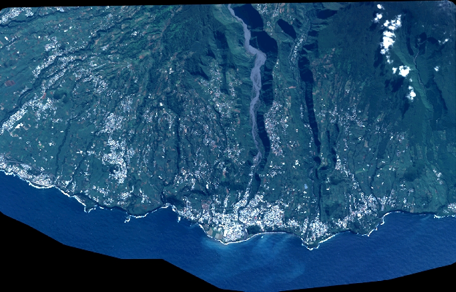
Dataset framing
Vertice
Longitude (DEG)
Latitude (DEG)
Row
Col
#1
55.51361826462117
-21.2896987925671
1
#2
55.70958842485935
-21.29252188518629
#3
55.70901750280504
-21.40668559793955
#4
55.51340853837109
-21.40581443928817
Dataset sources
PHR
Coordinate Reference System
Projected Coordinate System
Geocoding tables identification
EPSG(6.3)
Production
Production Date
2018-07-05T11:51:49.934
Job identification
3124709101-002
Dataset Producer Identification
AIRBUS DS GEO
Producer link
http://www.geo-airbusds.com
Quicklook
Copyright