TYPE:
SENSOR
LAYER:
SEN_SPOT6_20180508_100302500_000
FORMAT:
DIMAP
RASTER:
image/jp2
General Information
Map Name
Geometric Processing Level
Radiometric Processing Level
BASIC
Image dimensions
Number of columns
38609
Number of rows
42857
Number of spectral bands
1
Dataset framing
Vertice
Longitude (DEG)
Latitude (DEG)
Row
Col
#1
7.22219427711
49.1278878759
#2
8.0723009709
49.1308239871
#3
8.06463709588
48.5225410192
#4
7.23101914722
48.5198877314
Dataset sources
SPOT
Coordinate Reference System
Projected Coordinate System
Geocoding tables identification
ITU(0.0)
Production
Production Date
2018-05-15T14:43:30.00Z
Job identification
SPOT6_20180515_1418351bc2jizpk6v35_1
Dataset Producer Identification
"SRD GEOSUD / IRD, Irstea, IGN"
Producer link
http://geosud.teledetection.fr/
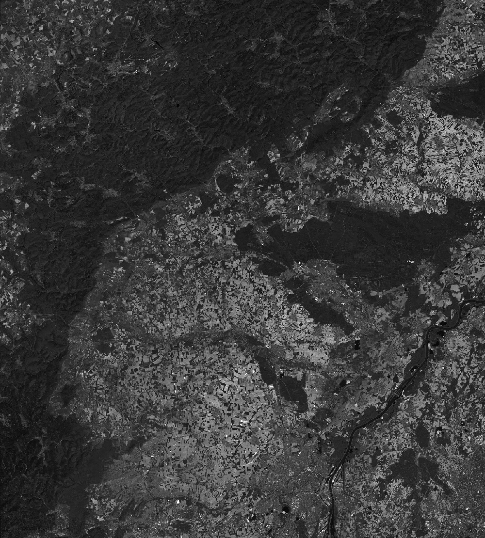
Quicklook
Copyright