TYPE:
SENSOR
LAYER:
SEN_SPOT6_20180508_100302500_000
FORMAT:
DIMAP
RASTER:
image/jp2
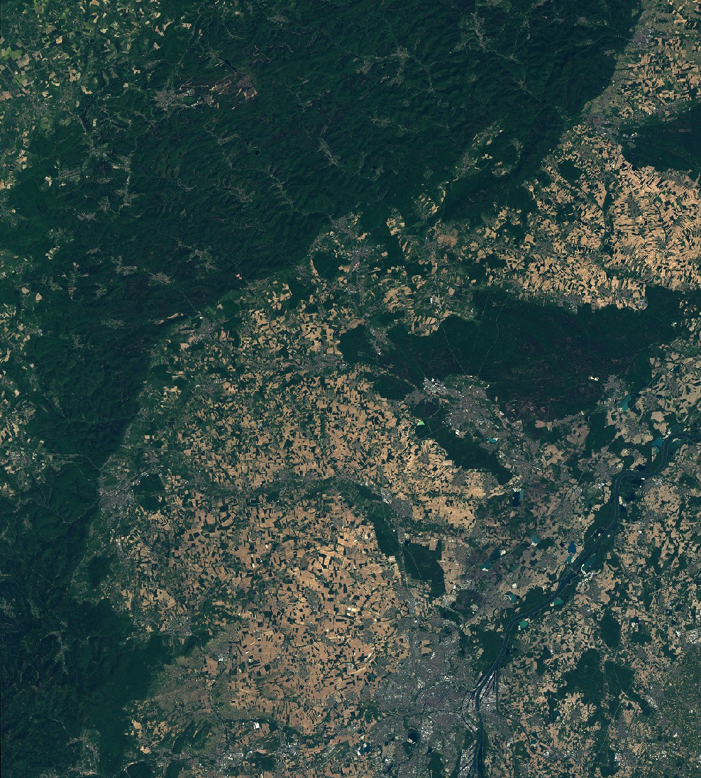
General Information
Map Name
Geometric Processing Level
Radiometric Processing Level
BASIC
Image dimensions
Number of columns
9652
Number of rows
10714
Number of spectral bands
4
Dataset framing
Vertice
Longitude (DEG)
Latitude (DEG)
Row
Col
#1
7.22223951099
49.12785984
1
#2
8.07225729436
49.1307956256
#3
8.06459486638
48.5225694405
#4
7.23106257655
48.5199164213
Dataset sources
SPOT
Coordinate Reference System
Projected Coordinate System
Geocoding tables identification
ITU(0.0)
Production
Production Date
2018-05-15T14:43:30.00Z
Job identification
SPOT6_20180515_1418351bc2jizpk6v35_1
Dataset Producer Identification
"SRD GEOSUD / IRD, Irstea, IGN"
Producer link
http://geosud.teledetection.fr/
Quicklook
Copyright