TYPE:
SENSOR
LAYER:
DS_PHR1B_201805071124484_FR1_PX_W002N48_0612_01796
FORMAT:
DIMAP
RASTER:
image/jp2
General Information
Map Name
Geometric Processing Level
Radiometric Processing Level
BASIC
Image dimensions
Number of columns
38680
Number of rows
39868
Number of spectral bands
1
Dataset framing
Vertice
Longitude (DEG)
Latitude (DEG)
Row
Col
#1
-1.719221824095059
48.59375845409046
#2
-1.433191305855031
48.58887946393635
#3
-1.433326812442707
48.401235241836
#4
-1.719731290739568
48.40770319872223
Dataset sources
PHR
Coordinate Reference System
Projected Coordinate System
Geocoding tables identification
EPSG(6.3)
Production
Production Date
2018-05-15T15:08:40.307
Job identification
2970267101-1
Dataset Producer Identification
AIRBUS DS GEO
Producer link
http://www.geo-airbusds.com
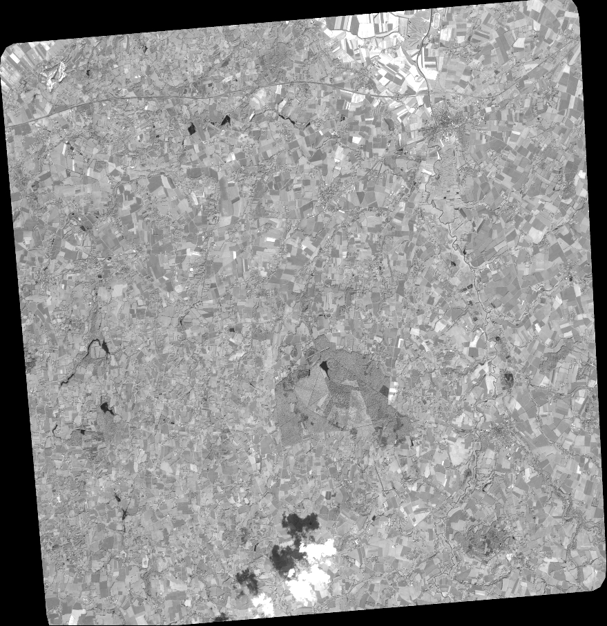
Quicklook
Copyright