TYPE:
SENSOR
LAYER:
SEN_SPOT7_20180503_060451100_000
FORMAT:
DIMAP
RASTER:
image/jp2
General Information
Map Name
Geometric Processing Level
Radiometric Processing Level
BASIC
Image dimensions
Number of columns
38609
Number of rows
33909
Number of spectral bands
1
Dataset framing
Vertice
Longitude (DEG)
Latitude (DEG)
Row
Col
#1
55.1120514116
-20.8428338501
#2
55.7273540233
-20.853446703
#3
55.7273404133
-21.3904335923
#4
55.1125907478
-21.3838633969
Dataset sources
SPOT
Coordinate Reference System
Projected Coordinate System
Geocoding tables identification
ITU(0.0)
Production
Production Date
2018-05-03T09:33:14.00Z
Job identification
SPOT7_20180503_0915271u881bmtuyj6n_1
Dataset Producer Identification
"SRD GEOSUD / IRD, Irstea, IGN"
Producer link
http://geosud.teledetection.fr/
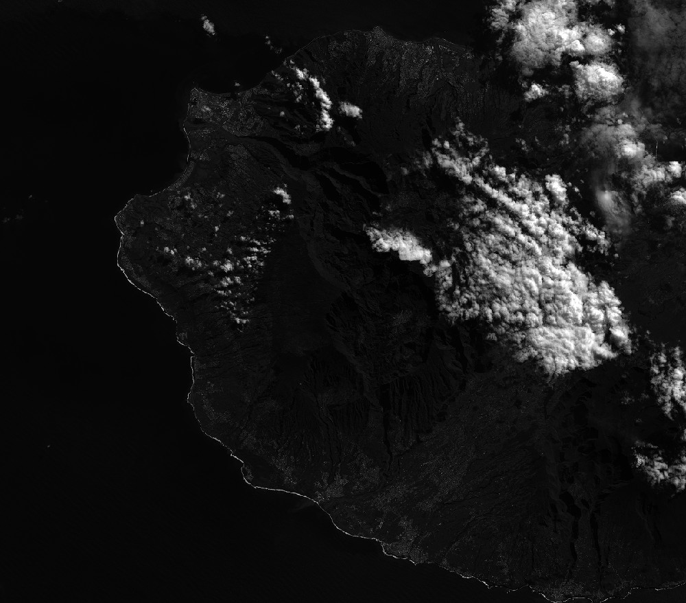
Quicklook
Copyright