TYPE:
SENSOR
LAYER:
SEN_SPOT7_20180503_060451100_000
FORMAT:
DIMAP
RASTER:
image/jp2
General Information
Map Name
Geometric Processing Level
Radiometric Processing Level
BASIC
Image dimensions
Number of columns
9652
Number of rows
8477
Number of spectral bands
4
Dataset framing
Vertice
Longitude (DEG)
Latitude (DEG)
Row
Col
#1
55.1120834922
-20.8428664615
1
#2
55.7273222916
-20.8534779724
#3
55.7273086544
-21.3904017389
#4
55.1126226783
-21.3838319896
Dataset sources
SPOT
Coordinate Reference System
Projected Coordinate System
Geocoding tables identification
ITU(0.0)
Production
Production Date
2018-05-03T09:33:14.00Z
Job identification
SPOT7_20180503_0915271u881bmtuyj6n_1
Dataset Producer Identification
"SRD GEOSUD / IRD, Irstea, IGN"
Producer link
http://geosud.teledetection.fr/
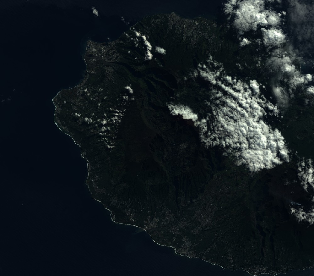
Quicklook
Copyright