TYPE:
SENSOR
LAYER:
SEN_SPOT7_20180425_100501000_000
FORMAT:
DIMAP
RASTER:
image/jp2
General Information
Map Name
Geometric Processing Level
Radiometric Processing Level
BASIC
Image dimensions
Number of columns
38609
Number of rows
32197
Number of spectral bands
1
Dataset framing
Vertice
Longitude (DEG)
Latitude (DEG)
Row
Col
#1
5.7374233758
45.3394725849
#2
6.56953655139
45.3180809027
#3
6.56299329264
44.7908150276
#4
5.74474534237
44.8067422786
Dataset sources
SPOT
Coordinate Reference System
Projected Coordinate System
Geocoding tables identification
ITU(0.0)
Production
Production Date
2018-04-25T12:07:26.00Z
Job identification
SPOT7_20180425_1146071l1uq3q1np4d9_1
Dataset Producer Identification
"SRD GEOSUD / IRD, Irstea, IGN"
Producer link
http://geosud.teledetection.fr/
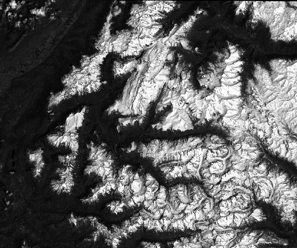
Quicklook
Copyright