TYPE:
SENSOR
LAYER:
SEN_SPOT6_20180413_060810000_000
FORMAT:
DIMAP
RASTER:
image/jp2
General Information
Map Name
Geometric Processing Level
Radiometric Processing Level
BASIC
Image dimensions
Number of columns
9651
Number of rows
10430
Number of spectral bands
4
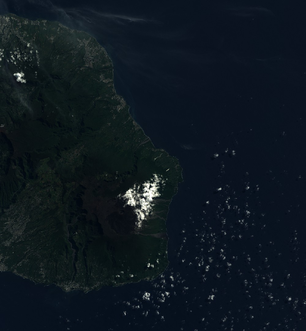
Dataset framing
Vertice
Longitude (DEG)
Latitude (DEG)
Row
Col
#1
55.4837070525
-20.8583704482
1
#2
56.0752913317
-20.8519475691
#3
56.0781670119
-21.4528818093
#4
55.4812535824
-21.4603611242
Dataset sources
SPOT
Coordinate Reference System
Projected Coordinate System
Geocoding tables identification
ITU(0.0)
Production
Production Date
2018-05-03T13:33:32.00Z
Job identification
SPOT6_20180503_1313311pdxf43eb0yqk_1
Dataset Producer Identification
"SRD GEOSUD / IRD, Irstea, IGN"
Producer link
http://geosud.teledetection.fr/
Quicklook
Copyright