TYPE:
SENSOR
LAYER:
SEN_SPOT7_20180412_061555800_000
FORMAT:
DIMAP
RASTER:
image/jp2
General Information
Map Name
Geometric Processing Level
Radiometric Processing Level
BASIC
Image dimensions
Number of columns
9640
Number of rows
10401
Number of spectral bands
4
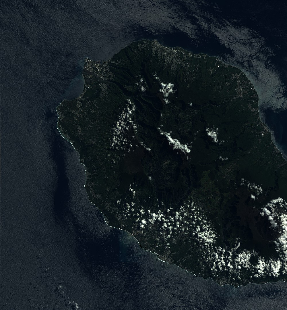
Dataset framing
Vertice
Longitude (DEG)
Latitude (DEG)
Row
Col
#1
55.0865355984
-20.816735211
1
#2
55.7678243585
-20.760715307
#3
55.7733986998
-21.4267263262
#4
55.0817868701
-21.4819649714
Dataset sources
SPOT
Coordinate Reference System
Projected Coordinate System
Geocoding tables identification
ITU(0.0)
Production
Production Date
2018-05-03T13:34:40.00Z
Job identification
SPOT7_20180503_1313101v89s2b3p7pdt_1
Dataset Producer Identification
"SRD GEOSUD / IRD, Irstea, IGN"
Producer link
http://geosud.teledetection.fr/
Quicklook
Copyright