TYPE:
SENSOR
LAYER:
SEN_SPOT7_20180412_061538500_000
FORMAT:
DIMAP
RASTER:
image/jp2
General Information
Map Name
Geometric Processing Level
Radiometric Processing Level
BASIC
Image dimensions
Number of columns
9641
Number of rows
9729
Number of spectral bands
4
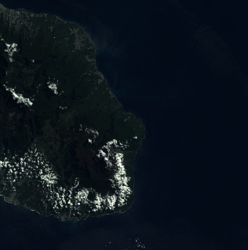
Dataset framing
Vertice
Longitude (DEG)
Latitude (DEG)
Row
Col
#1
55.4475957762
-20.8638844017
1
#2
56.1218467891
-20.8497941281
#3
56.1279466615
-21.4474404468
#4
55.4422055968
-21.4598798094
Dataset sources
SPOT
Coordinate Reference System
Projected Coordinate System
Geocoding tables identification
ITU(0.0)
Production
Production Date
2018-05-03T13:32:29.00Z
Job identification
SPOT7_20180503_1312531teyxw2644rcx_1
Dataset Producer Identification
"SRD GEOSUD / IRD, Irstea, IGN"
Producer link
http://geosud.teledetection.fr/
Quicklook
Copyright