TYPE:
SENSOR
LAYER:
DS_PHR1A_201803161036394_FR1_PX_E006N45_0502_01736
FORMAT:
DIMAP
RASTER:
image/jp2
General Information
Map Name
Geometric Processing Level
Radiometric Processing Level
BASIC
Image dimensions
Number of columns
29046
Number of rows
38381
Number of spectral bands
1
Dataset framing
Vertice
Longitude (DEG)
Latitude (DEG)
Row
Col
#1
6.308328037840957
45.17478116119857
#2
6.502192394268396
45.17724564247005
#3
6.502371035128045
44.98884125120293
#4
6.30858356366814
44.98368851291798
Dataset sources
PHR
Coordinate Reference System
Projected Coordinate System
Geocoding tables identification
EPSG(6.3)
Production
Production Date
2018-04-06T12:50:24.804
Job identification
2860410101-002
Dataset Producer Identification
AIRBUS DS GEO
Producer link
http://www.geo-airbusds.com
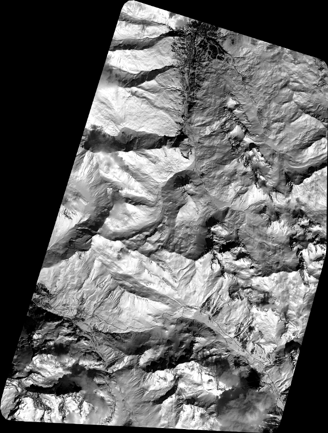
Quicklook
Copyright