TYPE:
SENSOR
LAYER:
DS_PHR1A_201803161035439_FR1_PX_E006N45_0502_01807
FORMAT:
DIMAP
RASTER:
image/jp2
General Information
Map Name
Geometric Processing Level
Radiometric Processing Level
BASIC
Image dimensions
Number of columns
29645
Number of rows
39383
Number of spectral bands
1
Dataset framing
Vertice
Longitude (DEG)
Latitude (DEG)
Row
Col
#1
6.3074752461026
45.17264659304761
#2
6.5023877216849
45.17521552079115
#3
6.501539029437438
44.98928190521448
#4
6.308473768465281
44.98828337887462
Dataset sources
PHR
Coordinate Reference System
Projected Coordinate System
Geocoding tables identification
EPSG(6.3)
Production
Production Date
2018-04-06T12:50:23.686
Job identification
2860410101-001
Dataset Producer Identification
AIRBUS DS GEO
Producer link
http://www.geo-airbusds.com
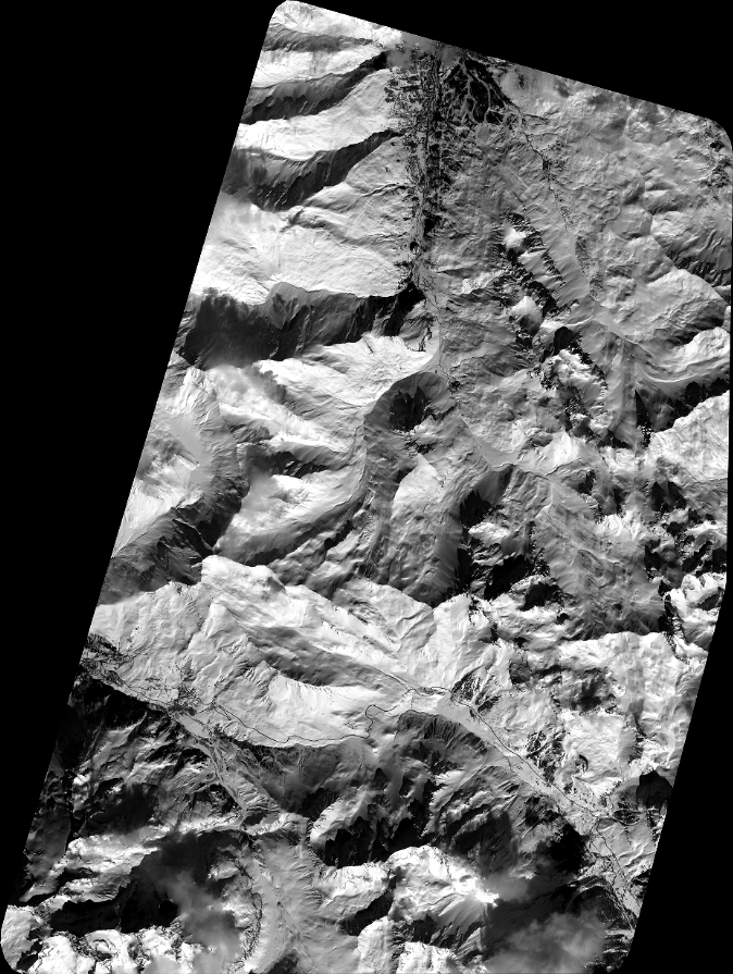
Quicklook
Copyright