TYPE:
SENSOR
LAYER:
DS_PHR1A_201803161036053_FR1_PX_E006N45_0502_01868
FORMAT:
DIMAP
RASTER:
image/jp2
General Information
Map Name
Geometric Processing Level
Radiometric Processing Level
BASIC
Image dimensions
Number of columns
7648
Number of rows
10400
Number of spectral bands
4
Dataset framing
Vertice
Longitude (DEG)
Latitude (DEG)
Row
Col
#1
6.307821778657279
45.1737153599849
1
#2
6.50234363977768
45.17363219511618
#3
6.501828176190598
44.98878465397321
#4
6.30851547971458
44.98891829505816
Dataset sources
PHR
Coordinate Reference System
Projected Coordinate System
Geocoding tables identification
EPSG(6.3)
Production
Production Date
2018-04-06T12:50:25.571
Job identification
2860410101-006
Dataset Producer Identification
AIRBUS DS GEO
Producer link
http://www.geo-airbusds.com
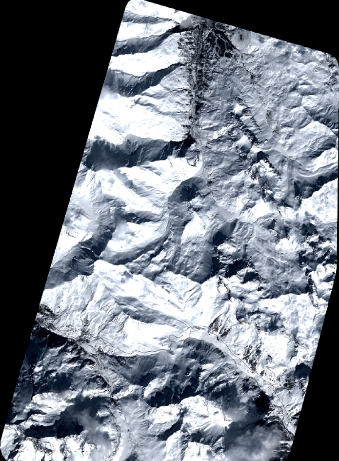
Quicklook
Copyright