TYPE:
SENSOR
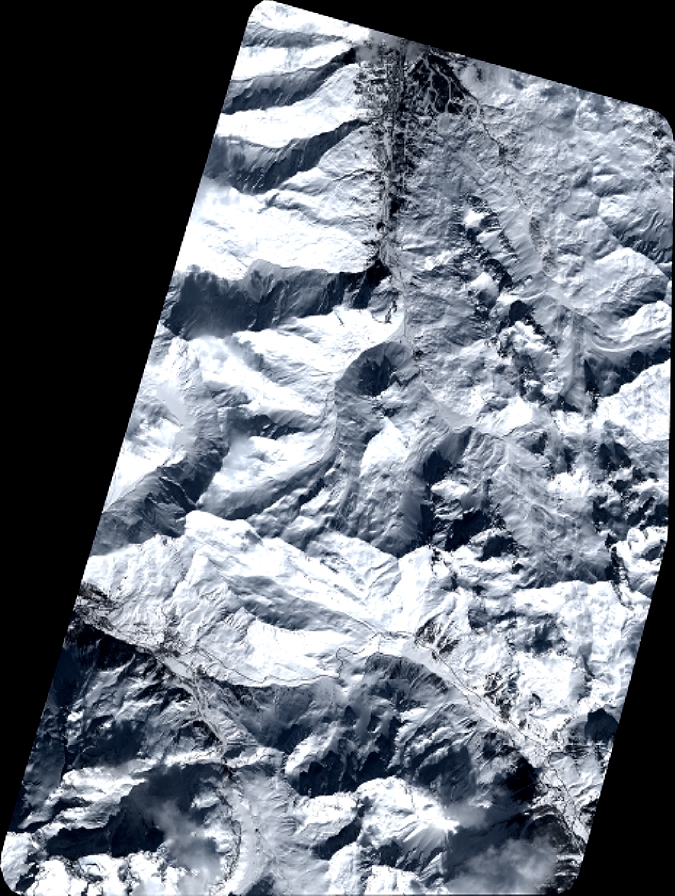
LAYER:
DS_PHR1A_201803161035439_FR1_PX_E006N45_0502_01807
FORMAT:
DIMAP
RASTER:
image/jp2
General Information
Map Name
Geometric Processing Level
Radiometric Processing Level
BASIC
Image dimensions
Number of columns
7412
Number of rows
9847
Number of spectral bands
4
Dataset framing
Vertice
Longitude (DEG)
Latitude (DEG)
Row
Col
#1
6.307478266032746
45.17264849011605
1
#2
6.502391260995754
45.17521837073416
#3
6.501541952257269
44.98927411662402
#4
6.308477156601533
44.98827650009498
Dataset sources
PHR
Coordinate Reference System
Projected Coordinate System
Geocoding tables identification
EPSG(6.3)
Production
Production Date
2018-04-06T12:50:42.711
Job identification
2860410101-004
Dataset Producer Identification
AIRBUS DS GEO
Producer link
http://www.geo-airbusds.com
Quicklook
Copyright