TYPE:
SENSOR
LAYER:
DS_PHR1A_201803161036416_FR1_PX_E006N45_0503_01502
FORMAT:
DIMAP
RASTER:
image/jp2
General Information
Map Name
Geometric Processing Level
Radiometric Processing Level
BASIC
Image dimensions
Number of columns
27940
Number of rows
32315
Number of spectral bands
1
Dataset framing
Vertice
Longitude (DEG)
Latitude (DEG)
Row
Col
#1
6.295023569342905
45.021526571607
#2
6.480688993968649
45.02314056867083
#3
6.481057308409056
44.86761403986777
#4
6.294784323714707
44.86214560760224
Dataset sources
PHR
Coordinate Reference System
Projected Coordinate System
Geocoding tables identification
EPSG(6.3)
Production
Production Date
2018-04-06T12:48:07.514
Job identification
2860411101-002
Dataset Producer Identification
AIRBUS DS GEO
Producer link
http://www.geo-airbusds.com
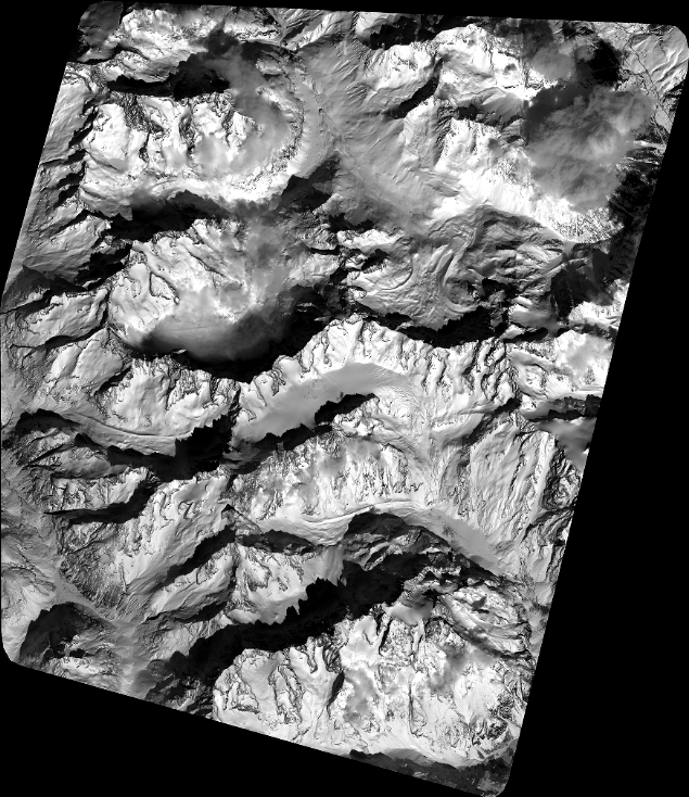
Quicklook
Copyright