TYPE:
SENSOR
LAYER:
DS_PHR1A_201803161036078_FR1_PX_E006N45_0503_01570
FORMAT:
DIMAP
RASTER:
image/jp2
General Information
Map Name
Geometric Processing Level
Radiometric Processing Level
BASIC
Image dimensions
Number of columns
29377
Number of rows
34892
Number of spectral bands
1
Dataset framing
Vertice
Longitude (DEG)
Latitude (DEG)
Row
Col
#1
6.294764854713616
45.01930510635722
#2
6.481048410006351
45.01943192379145
#3
6.480646589039238
44.86415102522725
#4
6.29535724658822
44.86421820538608
Dataset sources
PHR
Coordinate Reference System
Projected Coordinate System
Geocoding tables identification
EPSG(6.3)
Production
Production Date
2018-04-06T12:48:11.300
Job identification
2860411101-003
Dataset Producer Identification
AIRBUS DS GEO
Producer link
http://www.geo-airbusds.com
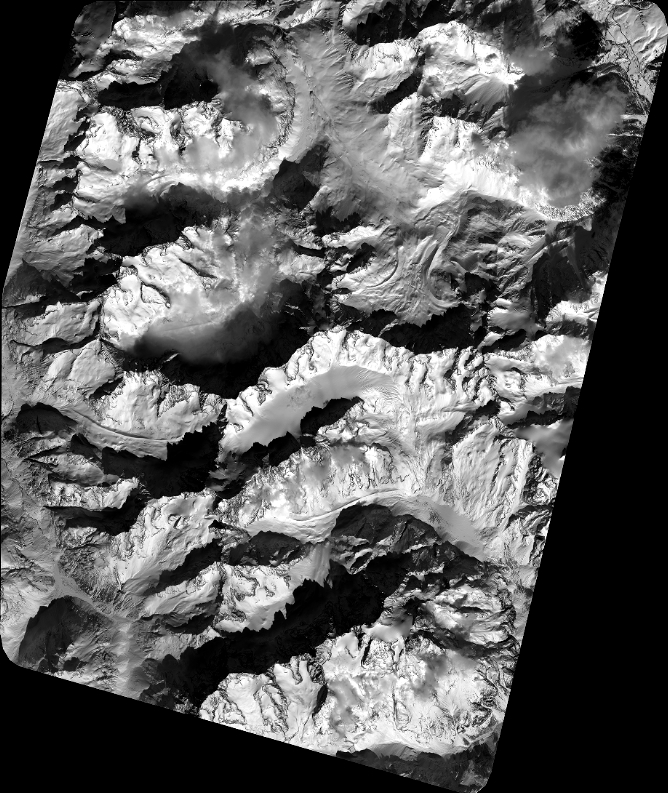
Quicklook
Copyright