TYPE:
SENSOR
LAYER:
DS_PHR1A_201803161036416_FR1_PX_E006N45_0503_01502
FORMAT:
DIMAP
RASTER:
image/jp2
General Information
Map Name
Geometric Processing Level
Radiometric Processing Level
BASIC
Image dimensions
Number of columns
6986
Number of rows
8080
Number of spectral bands
4
Dataset framing
Vertice
Longitude (DEG)
Latitude (DEG)
Row
Col
#1
6.295033690685669
45.02152999991957
1
#2
6.480703142092147
45.02313427721113
#3
6.481074446644583
44.86760863565826
#4
6.294794562368066
44.86213995135896
Dataset sources
PHR
Coordinate Reference System
Projected Coordinate System
Geocoding tables identification
EPSG(6.3)
Production
Production Date
2018-04-06T12:48:21.538
Job identification
2860411101-005
Dataset Producer Identification
AIRBUS DS GEO
Producer link
http://www.geo-airbusds.com
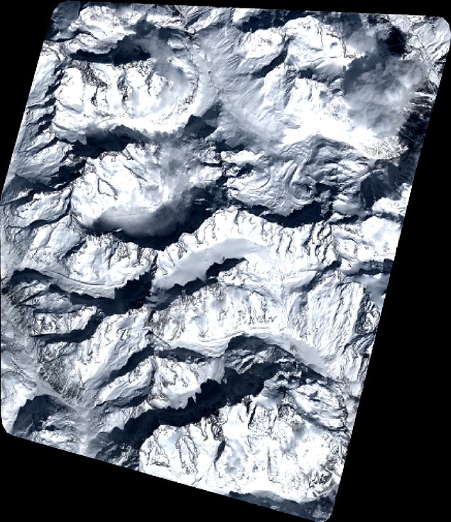
Quicklook
Copyright