TYPE:
SENSOR
LAYER:
DS_PHR1A_201803161036078_FR1_PX_E006N45_0503_01570
FORMAT:
DIMAP
RASTER:
image/jp2
General Information
Map Name
Geometric Processing Level
Radiometric Processing Level
BASIC
Image dimensions
Number of columns
7345
Number of rows
8723
Number of spectral bands
4
Dataset framing
Vertice
Longitude (DEG)
Latitude (DEG)
Row
Col
#1
6.29476188663681
45.01929849657455
1
#2
6.481045040060745
45.01942512182797
#3
6.480643452420014
44.86415770913976
#4
6.295354246198964
44.86422495074613
Dataset sources
PHR
Coordinate Reference System
Projected Coordinate System
Geocoding tables identification
EPSG(6.3)
Production
Production Date
2018-04-06T12:48:20.686
Job identification
2860411101-006
Dataset Producer Identification
AIRBUS DS GEO
Producer link
http://www.geo-airbusds.com
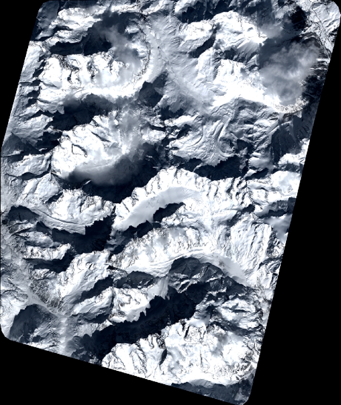
Quicklook
Copyright