TYPE:
SENSOR
LAYER:
DS_PHR1A_201712071046519_FR1_PX_E007N48_1015_01666
FORMAT:
DIMAP
RASTER:
image/jp2
General Information
Map Name
Geometric Processing Level
Radiometric Processing Level
BASIC
Image dimensions
Number of columns
37133
Number of rows
37052
Number of spectral bands
1
Dataset framing
Vertice
Longitude (DEG)
Latitude (DEG)
Row
Col
#1
7.628546065749924
48.71194376923081
#2
7.902488816245376
48.70089986859211
#3
7.902412567563333
48.51818094798207
#4
7.62852792399339
48.53021725774737
Dataset sources
PHR
Coordinate Reference System
Projected Coordinate System
Geocoding tables identification
EPSG(6.3)
Production
Production Date
2017-12-11T11:41:57.413
Job identification
2573629101-001
Dataset Producer Identification
AIRBUS DS GEO
Producer link
http://www.geo-airbusds.com
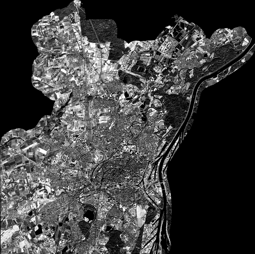
Quicklook
Copyright