TYPE:
SENSOR
LAYER:
DS_PHR1A_201712071046519_FR1_PX_E007N48_1015_01666
FORMAT:
DIMAP
RASTER:
image/jp2
General Information
Map Name
Geometric Processing Level
Radiometric Processing Level
BASIC
Image dimensions
Number of columns
9284
Number of rows
9263
Number of spectral bands
4
Dataset framing
Vertice
Longitude (DEG)
Latitude (DEG)
Row
Col
#1
7.628557117604061
48.71193593179555
1
#2
7.902500053693229
48.70089193201561
#3
7.902423790733036
48.51818776019324
#4
7.628538856356539
48.53022417916478
Dataset sources
PHR
Coordinate Reference System
Projected Coordinate System
Geocoding tables identification
EPSG(6.3)
Production
Production Date
2017-12-11T11:42:13.384
Job identification
2573629101-002
Dataset Producer Identification
AIRBUS DS GEO
Producer link
http://www.geo-airbusds.com
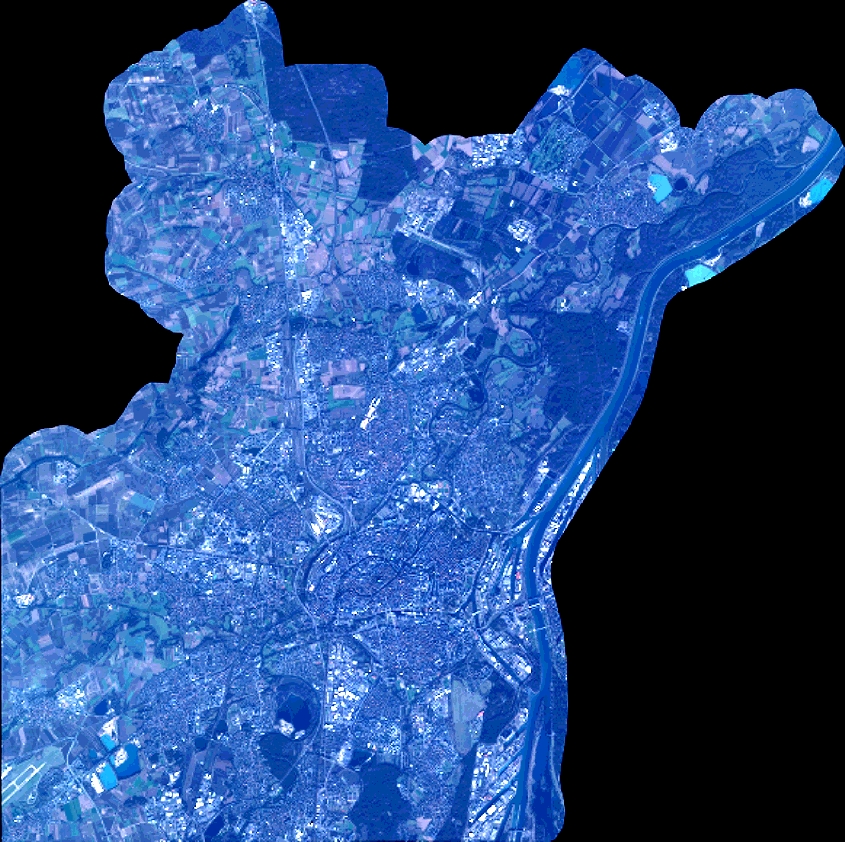
Quicklook
Copyright