TYPE:
SENSOR
LAYER:
SEN_SPOT6_20171120_061533100_000
FORMAT:
DIMAP
RASTER:
image/jp2
General Information
Map Name
Geometric Processing Level
Radiometric Processing Level
BASIC
Image dimensions
Number of columns
9633
Number of rows
9071
Number of spectral bands
4
Dataset framing
Vertice
Longitude (DEG)
Latitude (DEG)
Row
Col
#1
55.2792734393
-20.8583811127
1
#2
55.9359670388
-20.8645721571
#3
55.9415352398
-21.4123483046
#4
55.2745096519
-21.4042598255
Dataset sources
SPOT
Coordinate Reference System
Projected Coordinate System
Geocoding tables identification
ITU(0.0)
Production
Production Date
2017-11-20T10:00:19.00Z
Job identification
SPOT6_20171120_09405813z53mb1vfgb1_1
Dataset Producer Identification
"SRD GEOSUD / IRD, Irstea, IGN"
Producer link
http://geosud.teledetection.fr/
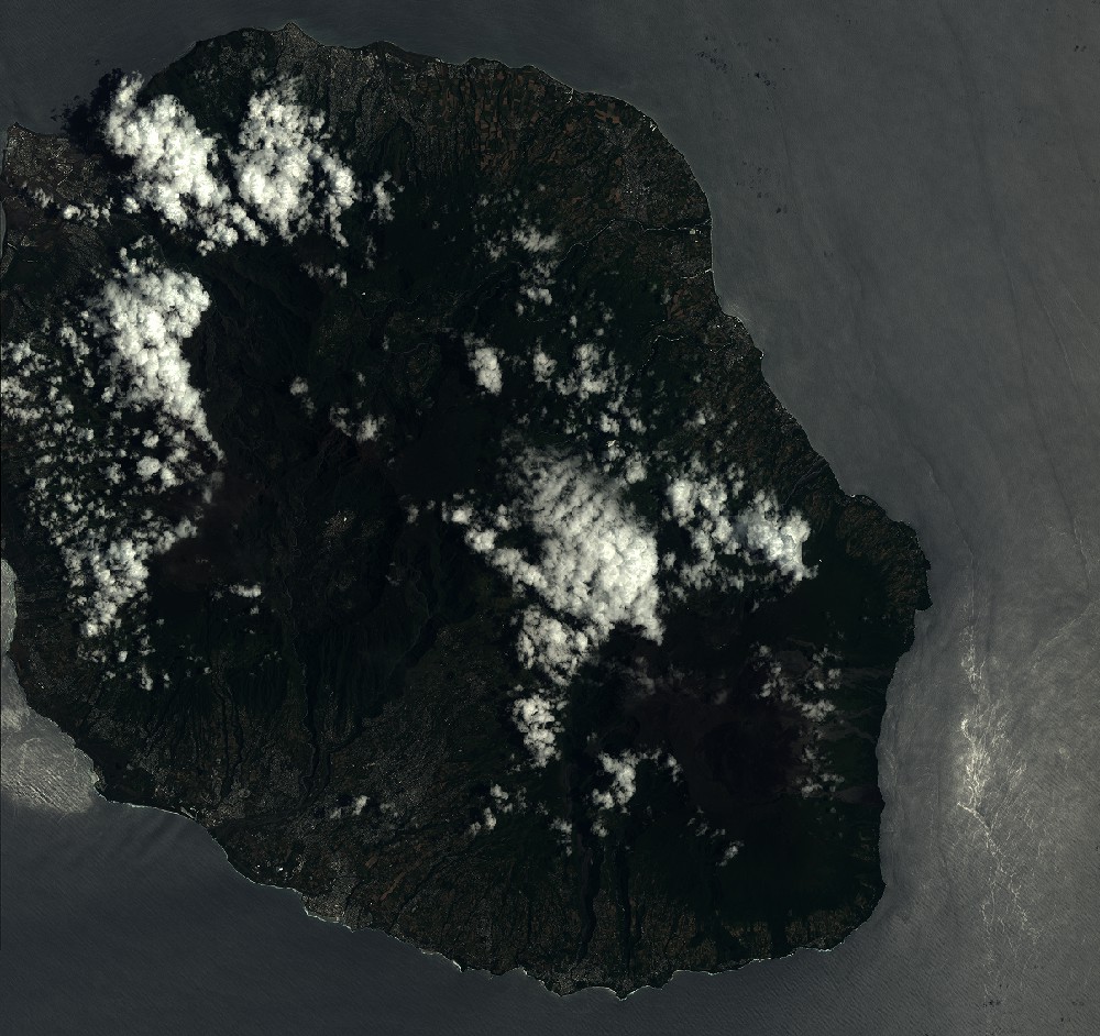
Quicklook
Copyright