TYPE:
SENSOR
LAYER:
DS_PHR1B_201711080633368_FR1_PX_E055S22_0817_01901
FORMAT:
DIMAP
RASTER:
image/jp2
General Information
Map Name
Geometric Processing Level
Radiometric Processing Level
BASIC
Image dimensions
Number of columns
15200
Number of rows
42232
Number of spectral bands
1
Dataset framing
Vertice
Longitude (DEG)
Latitude (DEG)
Row
Col
#1
55.58662876300874
-21.2068420602078
#2
55.66074195613926
-21.20752831526481
#3
55.65960645410402
-21.3971442989371
#4
55.58547118605441
-21.39684609087243
Dataset sources
PHR
Coordinate Reference System
Projected Coordinate System
Geocoding tables identification
EPSG(6.3)
Production
Production Date
2017-12-14T15:16:19.810
Job identification
2581257101-003
Dataset Producer Identification
AIRBUS DS GEO
Producer link
http://www.geo-airbusds.com
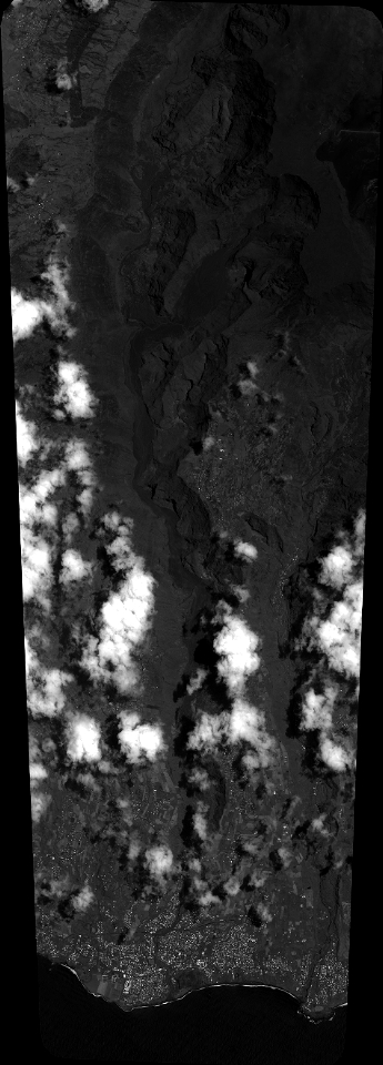
Quicklook
Copyright