TYPE:
SENSOR
LAYER:
DS_PHR1B_201711080633221_FR1_PX_E055S22_0817_01907
FORMAT:
DIMAP
RASTER:
image/jp2
General Information
Map Name
Geometric Processing Level
Radiometric Processing Level
BASIC
Image dimensions
Number of columns
3778
Number of rows
10536
Number of spectral bands
4
Dataset framing
Vertice
Longitude (DEG)
Latitude (DEG)
Row
Col
#1
55.5866578372152
-21.20634829521055
1
#2
55.66094221951318
-21.20561558655255
#3
55.65891774028259
-21.39765929917353
#4
55.58495115312162
-21.39825479120956
Dataset sources
PHR
Coordinate Reference System
Projected Coordinate System
Geocoding tables identification
EPSG(6.3)
Production
Production Date
2017-12-14T15:17:12.256
Job identification
2581257101-005
Dataset Producer Identification
AIRBUS DS GEO
Producer link
http://www.geo-airbusds.com
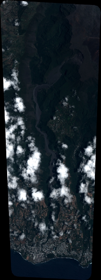
Quicklook
Copyright