TYPE:
SENSOR
LAYER:
DS_PHR1B_201711080633005_FR1_PX_E055S22_0817_01800
FORMAT:
DIMAP
RASTER:
image/jp2
General Information
Map Name
Geometric Processing Level
Radiometric Processing Level
BASIC
Image dimensions
Number of columns
3595
Number of rows
9651
Number of spectral bands
4
Dataset framing
Vertice
Longitude (DEG)
Latitude (DEG)
Row
Col
#1
55.5866720859056
-21.20657976995985
1
#2
55.6612625770934
-21.20172537002341
#3
55.65799405142308
-21.39726540429768
#4
55.58421523271495
-21.40050600767657
Dataset sources
PHR
Coordinate Reference System
Projected Coordinate System
Geocoding tables identification
EPSG(6.3)
Production
Production Date
2017-12-14T15:16:45.857
Job identification
2581257101-004
Dataset Producer Identification
AIRBUS DS GEO
Producer link
http://www.geo-airbusds.com
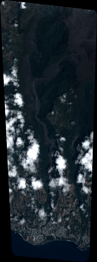
Quicklook
Copyright