TYPE:
SENSOR
LAYER:
DS_PHR1B_201711061125561_FR1_PX_W002N48_0613_01682
FORMAT:
DIMAP
RASTER:
image/jp2
General Information
Map Name
Geometric Processing Level
Radiometric Processing Level
BASIC
Image dimensions
Number of columns
36278
Number of rows
37300
Number of spectral bands
1
Dataset framing
Vertice
Longitude (DEG)
Latitude (DEG)
Row
Col
#1
-1.715552809568052
48.58225034460308
#2
-1.436515407363815
48.59017018380672
#3
-1.436773038744955
48.41090701323321
#4
-1.716175889015853
48.40467676683933
Dataset sources
PHR
Coordinate Reference System
Projected Coordinate System
Geocoding tables identification
EPSG(6.3)
Production
Production Date
2017-11-07T07:14:22.308
Job identification
2531858201-002
Dataset Producer Identification
AIRBUS DS GEO
Producer link
http://www.geo-airbusds.com
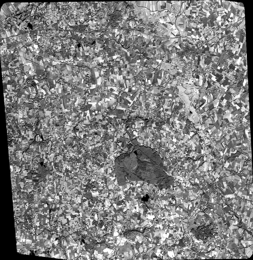
Quicklook
Copyright