TYPE:
SENSOR
LAYER:
DS_PHR1B_201711061125051_FR1_PX_W002N48_0612_01649
FORMAT:
DIMAP
RASTER:
image/jp2
General Information
Map Name
Geometric Processing Level
Radiometric Processing Level
BASIC
Image dimensions
Number of columns
36939
Number of rows
36560
Number of spectral bands
1
Dataset framing
Vertice
Longitude (DEG)
Latitude (DEG)
Row
Col
#1
-1.715519221480609
48.6020061242265
#2
-1.436581473689874
48.58736884749047
#3
-1.4367029995896
48.3952173451079
#4
-1.715882063050809
48.41105935779139
Dataset sources
PHR
Coordinate Reference System
Projected Coordinate System
Geocoding tables identification
EPSG(6.3)
Production
Production Date
2017-11-07T07:14:14.258
Job identification
2531858201-001
Dataset Producer Identification
AIRBUS DS GEO
Producer link
http://www.geo-airbusds.com
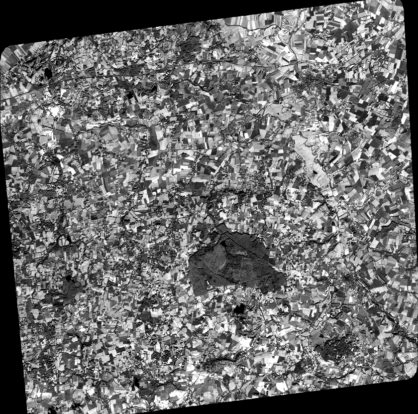
Quicklook
Copyright