TYPE:
SENSOR
LAYER:
DS_PHR1B_201710270625399_FR1_PX_E055S22_0919_00986
FORMAT:
DIMAP
RASTER:
image/jp2
General Information
Map Name
Geometric Processing Level
Radiometric Processing Level
BASIC
Image dimensions
Number of columns
28054
Number of rows
21078
Number of spectral bands
1
Dataset framing
Vertice
Longitude (DEG)
Latitude (DEG)
Row
Col
#1
55.67055460767347
-21.19993364386952
#2
55.82209969476571
-21.1950017594975
#3
55.82174412053477
-21.29774056720751
#4
55.66959155476576
-21.3037449424919
Dataset sources
PHR
Coordinate Reference System
Projected Coordinate System
Geocoding tables identification
EPSG(6.3)
Production
Production Date
2017-12-14T15:17:36.235
Job identification
2581259101-001
Dataset Producer Identification
AIRBUS DS GEO
Producer link
http://www.geo-airbusds.com
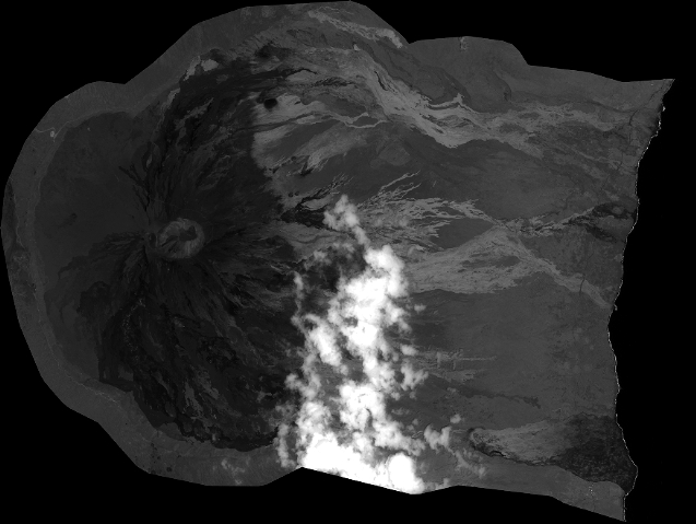
Quicklook
Copyright