TYPE:
SENSOR
LAYER:
DS_PHR1B_201710270626254_FR1_PX_E055S22_0919_00919
FORMAT:
DIMAP
RASTER:
image/jp2
General Information
Map Name
Geometric Processing Level
Radiometric Processing Level
BASIC
Image dimensions
Number of columns
7115
Number of rows
4924
Number of spectral bands
4
Dataset framing
Vertice
Longitude (DEG)
Latitude (DEG)
Row
Col
#1
55.67204794191365
-21.19166106948667
1
#2
55.82200176370475
-21.19899365460917
#3
55.82178690471421
-21.29939917699926
#4
55.67139639695321
-21.29207621767751
Dataset sources
PHR
Coordinate Reference System
Projected Coordinate System
Geocoding tables identification
EPSG(6.3)
Production
Production Date
2017-12-14T15:18:10.907
Job identification
2581259101-005
Dataset Producer Identification
AIRBUS DS GEO
Producer link
http://www.geo-airbusds.com
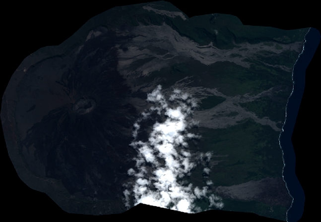
Quicklook
Copyright