TYPE:
SENSOR
LAYER:
SEN_SPOT6_20171024_101134500_000
FORMAT:
DIMAP
RASTER:
image/jp2
General Information
Map Name
Geometric Processing Level
Radiometric Processing Level
BASIC
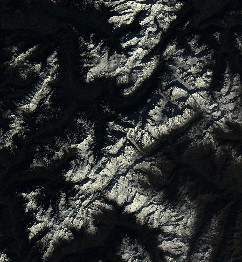
Image dimensions
Number of columns
9651
Number of rows
10429
Number of spectral bands
4
Dataset framing
Vertice
Longitude (DEG)
Latitude (DEG)
Row
Col
#1
6.39906203813
46.1286080936
1
#2
7.19909370144
46.1394517196
#3
7.19784428661
45.5369182841
#4
6.4012752208
45.5242969137
Dataset sources
SPOT
Coordinate Reference System
Projected Coordinate System
Geocoding tables identification
ITU(0.0)
Production
Production Date
2017-10-24T12:43:56.00Z
Job identification
SPOT6_20171024_1221131w4e3smkrxn3m_1
Dataset Producer Identification
"SRD GEOSUD / IRD, Irstea, IGN"
Producer link
http://geosud.teledetection.fr/
Quicklook
Copyright