TYPE:
SENSOR
LAYER:
SEN_SPOT7_20171014_103649400_000
FORMAT:
DIMAP
RASTER:
image/jp2
General Information
Map Name
Geometric Processing Level
Radiometric Processing Level
BASIC
Image dimensions
Number of columns
9652
Number of rows
9038
Number of spectral bands
4
Dataset framing
Vertice
Longitude (DEG)
Latitude (DEG)
Row
Col
#1
-2.0560259391
48.6490842867
1
#2
-1.16849354176
48.6171374827
#3
-1.1772106788
48.0351671209
#4
-2.04625583851
48.0609593297
Dataset sources
SPOT
Coordinate Reference System
Projected Coordinate System
Geocoding tables identification
ITU(0.0)
Production
Production Date
2017-10-16T12:25:32.00Z
Job identification
SPOT7_20171016_1204061e56cq5yd6iwn_1
Dataset Producer Identification
"SRD GEOSUD / IRD, Irstea, IGN"
Producer link
http://geosud.teledetection.fr/
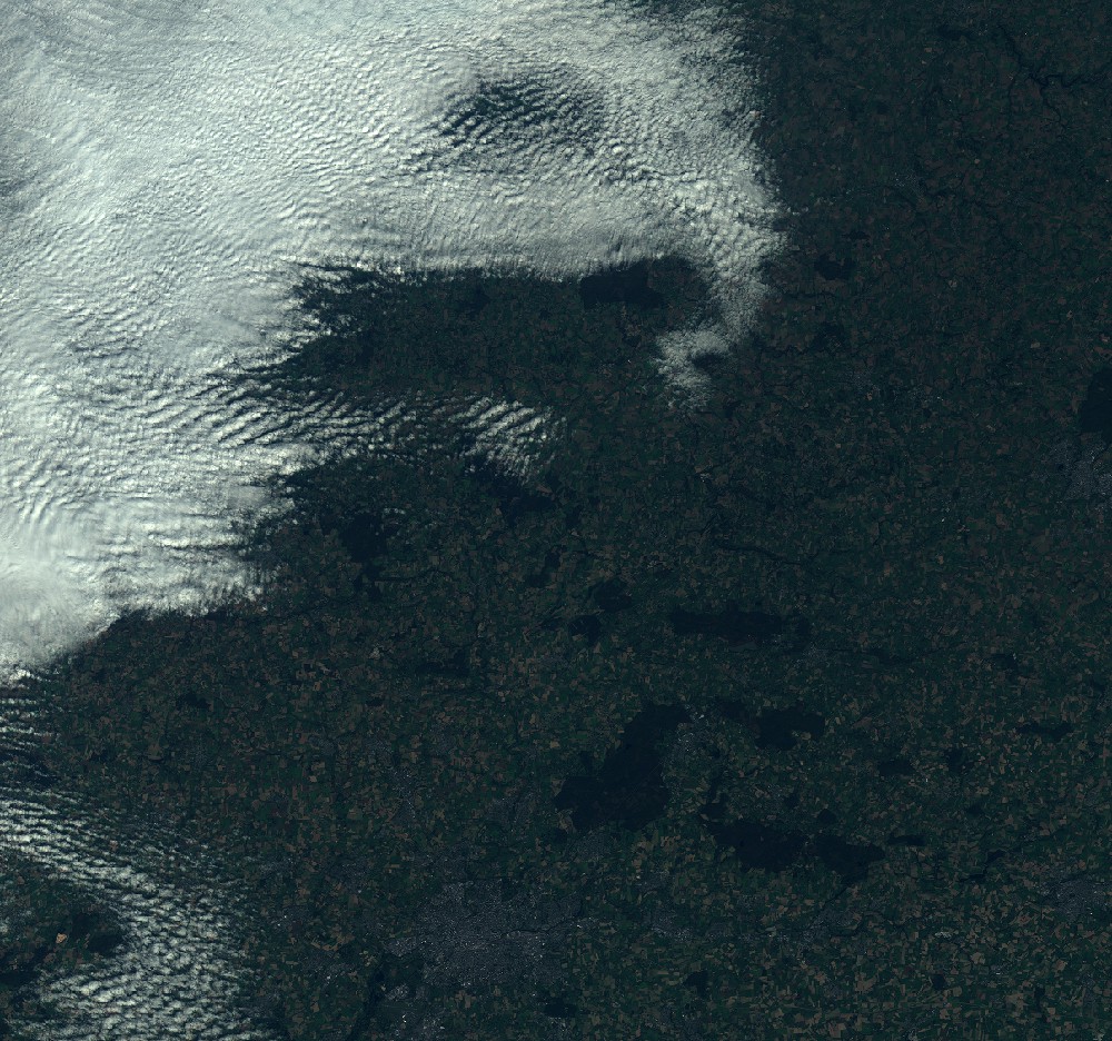
Quicklook
Copyright