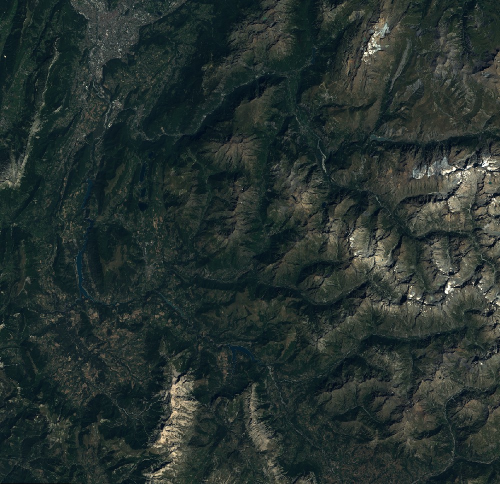
TYPE:
SENSOR
LAYER:
SEN_SPOT6_20170821_100341000_000
FORMAT:
DIMAP
RASTER:
image/jp2
General Information
Map Name
Geometric Processing Level
Radiometric Processing Level
BASIC
Image dimensions
Number of columns
9652
Number of rows
9346
Number of spectral bands
4
Dataset framing
Vertice
Longitude (DEG)
Latitude (DEG)
Row
Col
#1
5.54871092924
45.2069948369
1
#2
6.34210738142
45.1922155628
#3
6.33608021858
44.6542714088
#4
5.55550902529
44.6669249607
Dataset sources
SPOT
Coordinate Reference System
Projected Coordinate System
Geocoding tables identification
ITU(0.0)
Production
Production Date
2018-06-15T07:54:54.00Z
Job identification
SPOT6_20180615_0735131wdtv7sns69nu_1
Dataset Producer Identification
"SRD GEOSUD / IRD, Irstea, IGN"
Producer link
http://geosud.teledetection.fr/
Quicklook
Copyright