TYPE:
SENSOR
LAYER:
DS_PHR1B_201708141033160_FR1_PX_E006N45_1223_02312
FORMAT:
DIMAP
RASTER:
image/jp2
General Information
Map Name
Geometric Processing Level
Radiometric Processing Level
BASIC
Image dimensions
Number of columns
40000
Number of rows
51484
Number of spectral bands
1
Dataset framing
Vertice
Longitude (DEG)
Latitude (DEG)
Row
Col
#1
6.78895216848951
46.0545137104488
#2
7.053358234437035
46.05033537259725
#3
7.053392482172303
45.81323013129532
#4
6.792822459814477
45.81460251478946
Dataset sources
PHR
Coordinate Reference System
Projected Coordinate System
Geocoding tables identification
EPSG(6.3)
Production
Production Date
2017-10-02T12:05:18.006
Job identification
2487229101-002
Dataset Producer Identification
AIRBUS DS GEO
Producer link
http://www.geo-airbusds.com
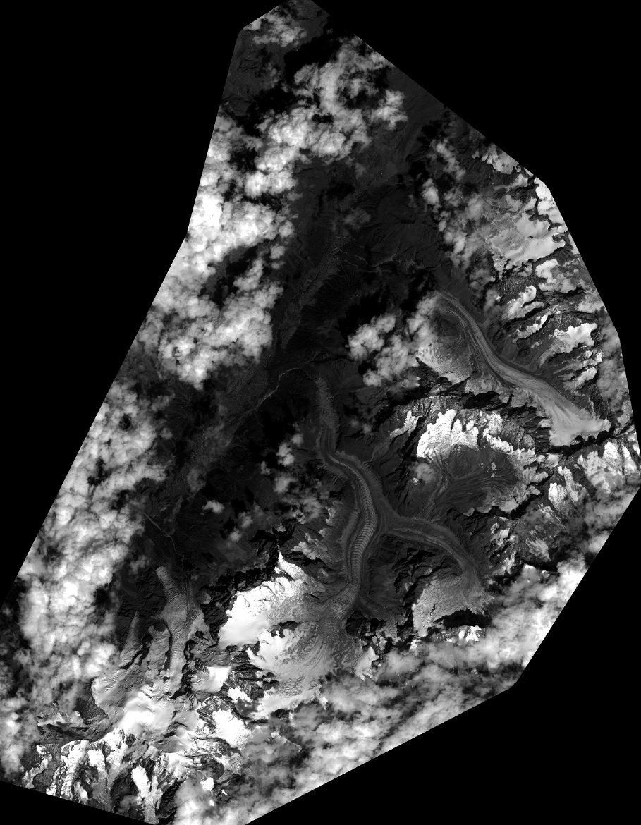
Quicklook
Copyright