TYPE:
SENSOR
LAYER:
DS_PHR1B_201708141033160_FR1_PX_E006N45_1223_02312
FORMAT:
DIMAP
RASTER:
image/jp2
General Information
Map Name
Geometric Processing Level
Radiometric Processing Level
BASIC
Image dimensions
Number of columns
10000
Number of rows
12871
Number of spectral bands
4
Dataset framing
Vertice
Longitude (DEG)
Latitude (DEG)
Row
Col
#1
6.78896301721382
46.05450562856502
1
#2
7.053348386125906
46.05032853654036
#3
7.053383046644034
45.81323640049307
#4
6.792831485617119
45.81461025367889
Dataset sources
PHR
Coordinate Reference System
Projected Coordinate System
Geocoding tables identification
EPSG(6.3)
Production
Production Date
2017-10-02T12:05:18.168
Job identification
2487229101-004
Dataset Producer Identification
AIRBUS DS GEO
Producer link
http://www.geo-airbusds.com
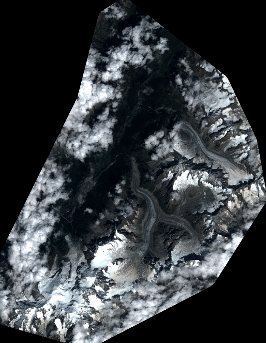
Quicklook
Copyright