TYPE:
SENSOR
LAYER:
DS_PHR1A_201708070648138_FR1_PX_E055S22_1019_01651
FORMAT:
DIMAP
RASTER:
image/jp2
General Information
Map Name
Geometric Processing Level
Radiometric Processing Level
BASIC
Image dimensions
Number of columns
28534
Number of rows
36715
Number of spectral bands
1
Dataset framing
Vertice
Longitude (DEG)
Latitude (DEG)
Row
Col
#1
55.6796837688849
-21.13527933622109
#2
55.86262182878001
-21.13916459658086
#3
55.86300915952928
-21.32617981392291
#4
55.67846755392807
-21.32007585400737
Dataset sources
PHR
Coordinate Reference System
Projected Coordinate System
Geocoding tables identification
EPSG(6.3)
Production
Production Date
2017-12-14T15:19:09.498
Job identification
2581258101-001
Dataset Producer Identification
AIRBUS DS GEO
Producer link
http://www.geo-airbusds.com
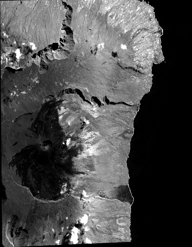
Quicklook
Copyright