TYPE:
SENSOR
LAYER:
SEN_SPOT6_20170807_100935800_000
FORMAT:
DIMAP
RASTER:
image/jp2
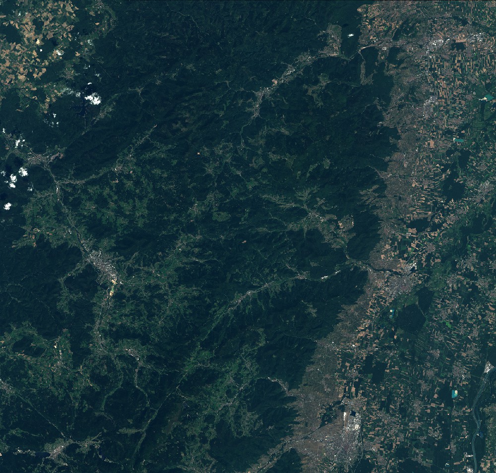
General Information
Map Name
Geometric Processing Level
Radiometric Processing Level
BASIC
Image dimensions
Number of columns
9652
Number of rows
9209
Number of spectral bands
4
Dataset framing
Vertice
Longitude (DEG)
Latitude (DEG)
Row
Col
#1
6.77772379794
48.5844065564
1
#2
7.61160400198
48.5868793195
#3
7.60784851354
48.0473635277
#4
6.78252400502
48.0475684903
Dataset sources
SPOT
Coordinate Reference System
Projected Coordinate System
Geocoding tables identification
ITU(0.0)
Production
Production Date
2018-03-28T09:41:59.00Z
Job identification
SPOT6_20180328_09220116gp73ks3rqm0_1
Dataset Producer Identification
"SRD GEOSUD / IRD, Irstea, IGN"
Producer link
http://geosud.teledetection.fr/
Quicklook
Copyright