TYPE:
SENSOR
LAYER:
DS_PHR1A_201706161124385_FR1_PX_W002N48_0612_01724
FORMAT:
DIMAP
RASTER:
image/jp2
General Information
Map Name
Geometric Processing Level
Radiometric Processing Level
BASIC
Image dimensions
Number of columns
40000
Number of rows
38360
Number of spectral bands
1
Dataset framing
Vertice
Longitude (DEG)
Latitude (DEG)
Row
Col
#1
-1.722323730003489
48.59810550906801
#2
-1.425642139741808
48.58530269515477
#3
-1.425841232257602
48.39502393929028
#4
-1.722670126902246
48.40918742604688
Dataset sources
PHR
Coordinate Reference System
Projected Coordinate System
Geocoding tables identification
EPSG(6.3)
Production
Production Date
2018-04-03T08:48:37.010
Job identification
2848990101-001
Dataset Producer Identification
AIRBUS DS GEO
Producer link
http://www.geo-airbusds.com
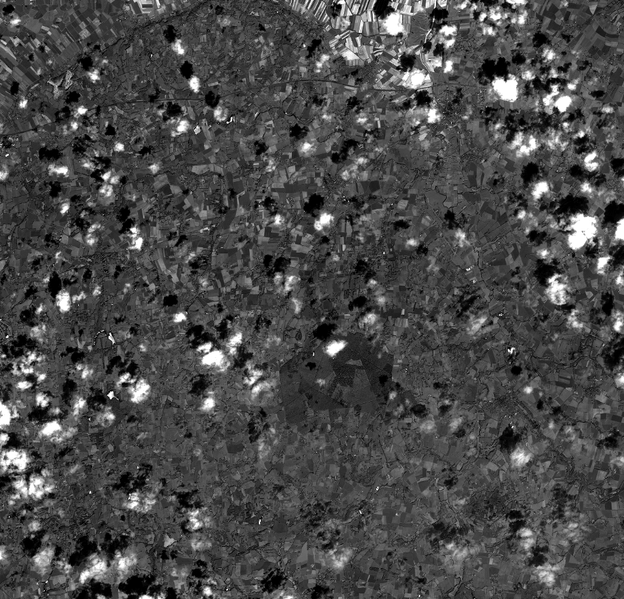
Quicklook
Copyright