TYPE:
SENSOR
LAYER:
DS_PHR1A_201706161124385_FR1_PX_W002N48_0612_01724
FORMAT:
DIMAP
RASTER:
image/jp2
General Information
Map Name
Geometric Processing Level
Radiometric Processing Level
BASIC
Image dimensions
Number of columns
10000
Number of rows
9590
Number of spectral bands
4
Dataset framing
Vertice
Longitude (DEG)
Latitude (DEG)
Row
Col
#1
-1.722312648730873
48.59809764183834
1
#2
-1.425653324916509
48.5852957521408
#3
-1.425852381377661
48.39503190784416
#4
-1.722659119707496
48.4091943764823
Dataset sources
PHR
Coordinate Reference System
Projected Coordinate System
Geocoding tables identification
EPSG(6.3)
Production
Production Date
2018-04-03T08:48:39.079
Job identification
2848990101-002
Dataset Producer Identification
AIRBUS DS GEO
Producer link
http://www.geo-airbusds.com
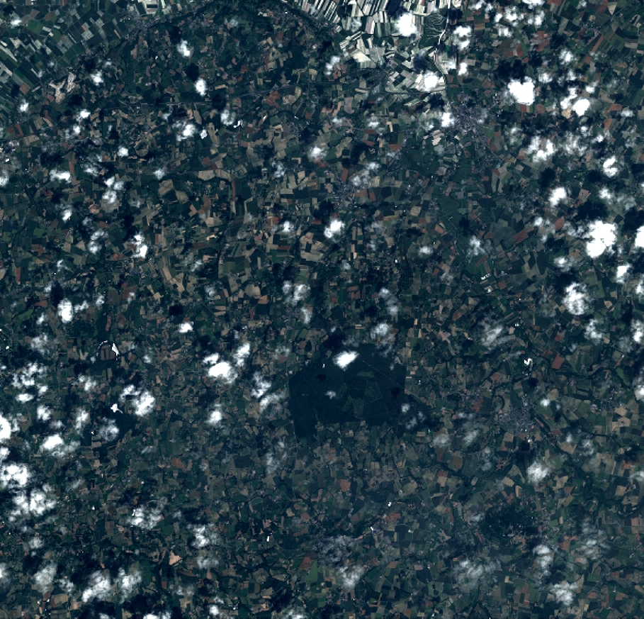
Quicklook
Copyright