TYPE:
SENSOR
LAYER:
SEN_SPOT7_20170611_060903400_000
FORMAT:
DIMAP
RASTER:
image/jp2
General Information
Map Name
Geometric Processing Level
Radiometric Processing Level
BASIC
Image dimensions
Number of columns
9646
Number of rows
9457
Number of spectral bands
4
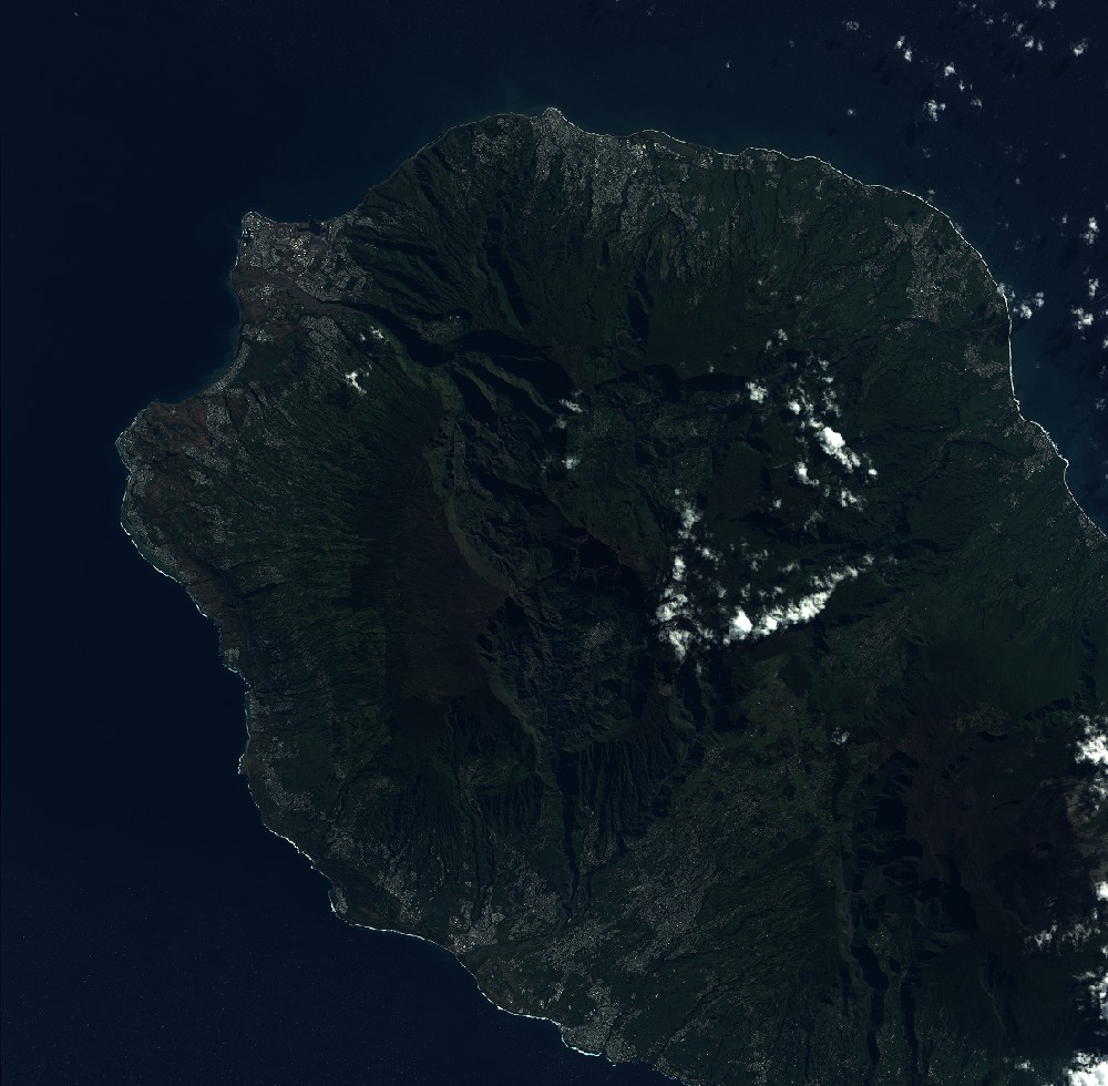
Dataset framing
Vertice
Longitude (DEG)
Latitude (DEG)
Row
Col
#1
55.1538516614
-20.8166491008
1
#2
55.7530826686
-20.8172234462
#3
55.7566934649
-21.3627317337
#4
55.1509175463
-21.3617714486
Dataset sources
SPOT
Coordinate Reference System
Projected Coordinate System
Geocoding tables identification
ITU(0.0)
Production
Production Date
2017-06-12T08:42:02.00Z
Job identification
SPOT7_20170612_0824071ishds0826e8h_1
Dataset Producer Identification
"SRD GEOSUD / IRD, Irstea, IGN"
Producer link
http://geosud.teledetection.fr/
Quicklook
Copyright